In the heart of China, researchers at the China University of Geosciences in Wuhan have made a significant stride in soil moisture (SM) mapping, a breakthrough that could reshape agricultural and water resource management, particularly in regions like the Korean Peninsula. Led by Xu Zhang from the National Engineering Research Center of Geographic Information System, the team has developed a novel approach to generate high-accuracy, two-layer SM data, integrating multisource remote sensing, reanalysis, and ground observation data through advanced machine learning models.
Soil moisture is a critical factor influencing plant growth, agricultural yield, and ecosystem functions. However, existing SM products often have coarse spatial resolution, limiting their practical applications. “Our study aims to address this challenge by improving the spatial resolution and accuracy of SM data,” Zhang explains. The team’s fusion strategy involves several key steps. First, they applied the ESTARFM spatiotemporal fusion algorithm to combine high-resolution MODIS data with long-term GLASS data, generating daily SM driving variables at a 1-km resolution. Subsequently, they used the LightGBM downscaling algorithm to reduce the spatial resolution of GLEAM SSM and RZSM data from 0.25° to daily 1-km resolution. Finally, a bias correction method based on convolutional neural networks with transfer learning was employed for point-to-area fusion calibration, significantly enhancing data accuracy.
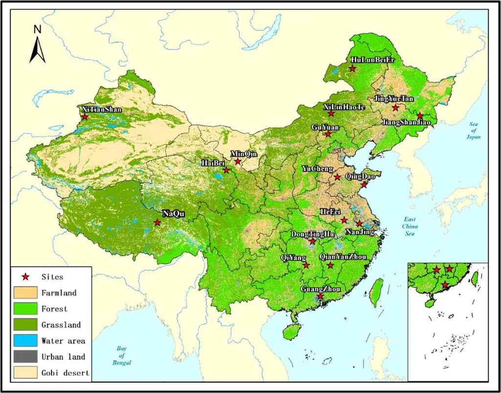
The results are impressive. The Pearson correlation coefficient (PCC) of the downscaled SM data ranges from 0.699 to 0.754, with root mean square error (RMSE) values of 0.053 to 0.055 m³/m³. After calibration with ground-based observations, the PCC improved to 0.792 to 0.860, and the RMSE decreased to 0.028 to 0.031 m³/m³. “The generated two-layer SM data excels in capturing spatial and temporal dynamics,” Zhang notes, highlighting the potential of this approach for agricultural drought monitoring and forecasting.
The implications of this research extend beyond academia. In the energy sector, accurate SM data is crucial for managing hydropower resources, optimizing irrigation systems, and predicting crop yields, which in turn affects bioenergy production. “Reliable SM data can support decision-making in water resource management and agricultural planning, ultimately contributing to food security and sustainable development,” Zhang adds.
Published in the IEEE Journal of Selected Topics in Applied Earth Observations and Remote Sensing (translated as “IEEE Journal of Selected Topics in Applied Earth Observations and Remote Sensing”), this study offers a valuable reference for SM research in similar regions. As the world grapples with climate change and water scarcity, innovations like these are more important than ever. The research not only provides a robust method for generating high-precision, long-term time series SM data but also sets a precedent for future developments in the field, paving the way for more accurate and reliable soil moisture mapping and monitoring.