In the heart of Tamil Nadu, India, a groundbreaking study is reshaping our understanding of agricultural land dynamics and offering crucial insights for planners, policymakers, and even the energy sector. Led by Gowthaman M S from the Institute of Remote Sensing at Anna University in Chennai, this research employs advanced artificial neural networks (ANNs) and geospatial analysis to model changes in agricultural land use in Melur Taluk, Madurai district.
The study, published in the *Journal of Agricultural Engineering* (which translates to *Journal of Agricultural Engineering* in English), focuses on the dynamic interactions between humans and the environment that drive land use changes. “Agricultural lands are under constant threat from urban expansion and environmental pressures,” explains Gowthaman. “This leads to reduced food production, biodiversity loss, and habitat degradation. Understanding these dynamics is vital for sustainable planning.”
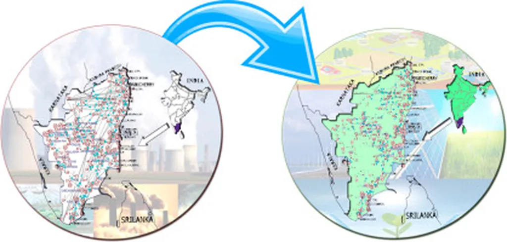
Using high-resolution Landsat images, the research team employed a maximum likelihood classifier (MLC) to analyze the primary causes of agricultural land use change between 2011 and 2022. The ANN time series framework was then used to evaluate historical data and forecast future trends in socio-economic and environmental variables. This integrated approach supports data-driven decision-making and enhances the interpretation of land transformation patterns.
The implications of this research extend beyond agriculture. The energy sector, particularly renewable energy projects, relies heavily on land use planning. Understanding agricultural land dynamics can help identify suitable locations for solar farms, wind turbines, and other renewable energy infrastructure without compromising food security or environmental sustainability.
“Our findings provide a robust framework for predicting land use changes,” says Gowthaman. “This can guide policymakers in making informed decisions that balance economic development, environmental conservation, and energy needs.”
The study’s innovative use of ANNs and geospatial analysis sets a new standard for land use research. By integrating historical data with predictive modeling, it offers a comprehensive tool for understanding and managing agricultural land dynamics. As the world grapples with climate change and resource scarcity, such insights are invaluable for shaping sustainable development strategies.
This research not only highlights the importance of advanced technologies in land use planning but also underscores the need for interdisciplinary collaboration. By bridging the gap between agriculture, environmental science, and energy sectors, it paves the way for holistic and sustainable development. As we move towards a future driven by data and innovation, studies like this will be instrumental in guiding our decisions and shaping our policies.