In the rapidly evolving world of agritech and land management, accurate parcel segmentation from remote sensing imagery is a game-changer. A recent study published in the journal *Land* (translated from Chinese as “Land”) introduces a novel approach that could revolutionize how we analyze and utilize land resources. Led by Xiaoqin Wu from the College of Information at Beijing Forestry University, the research combines cutting-edge technologies to enhance the precision and robustness of land parcel segmentation, with significant implications for the energy sector and beyond.
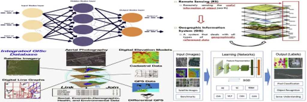
The challenge of accurately segmenting land parcels from remote sensing images has long plagued professionals in agriculture, urban planning, and energy management. Traditional methods often struggle with small-object segmentation, blurred boundaries, and background interference, issues exacerbated by varying sensor resolutions and atmospheric conditions. Wu and her team have developed a dual-stage framework that addresses these limitations head-on.
The framework integrates an enhanced YOLOv5s detector with the Segment Anything Model (SAM). “Our method significantly improves feature extraction and small-object recognition by incorporating Efficient Channel Attention (ECA) and BiFPN,” explains Wu. This enhancement allows for more accurate detection of land parcels, even in complex scenes. The YOLOv5s module is further refined with Soft-NMS to reduce missed detections, ensuring comprehensive coverage.
The SAM module takes bounding-box prompts from YOLOv5s and applies morphological refinement and mask stability scoring. This dual approach not only improves boundary continuity but also enhances the overall quality of the segmentation masks. “By using a composite Focal-Dice loss, we effectively mitigate class imbalance, leading to more reliable and consistent results,” Wu adds.
To validate their method, the researchers evaluated it on the publicly available CCF BDCI dataset and a newly constructed WuJiang dataset. The results were impressive, with an Intersection over Union (IoU) of 89.8% and a precision of 90.2%. These figures represent a significant leap forward compared to baseline models, demonstrating strong generalizability across diverse remote sensing conditions.
The commercial impacts of this research are profound, particularly for the energy sector. Accurate land parcel segmentation is crucial for renewable energy projects, such as solar and wind farms, where precise land use analysis is essential for site selection and planning. “Our method provides a robust tool for energy companies to optimize their land use strategies, ensuring efficient and sustainable development,” Wu notes.
The integration of YOLOv5s and SAM not only enhances the accuracy of parcel segmentation but also paves the way for future advancements in remote sensing technologies. As the demand for precise land use analysis grows, this dual-stage framework offers a scalable and adaptable solution. “We believe our research will inspire further innovations in the field, driving the development of more sophisticated and reliable remote sensing applications,” Wu concludes.
Published in *Land*, this study highlights the potential of combining advanced detection and segmentation models to address real-world challenges. As the energy sector continues to evolve, the ability to accurately segment and analyze land parcels will be instrumental in shaping sustainable and efficient energy solutions. Wu’s research not only advances the scientific community’s understanding of remote sensing technologies but also provides practical tools for professionals in the energy sector, ensuring a brighter and more sustainable future.