In the heart of Greece, researchers are revolutionizing the way we understand and manage soil moisture, a critical factor in agriculture and environmental sustainability. Led by Agathos Filintas from the Department of Agricultural Technologists at the University of Thessaly, a groundbreaking study has been published in the journal ‘Hydrology’ (translated to English), focusing on precision agriculture and geostatistical modeling. The research delves into the intricate world of soil water content (SWC), offering insights that could reshape irrigation practices and energy consumption in the agricultural sector.
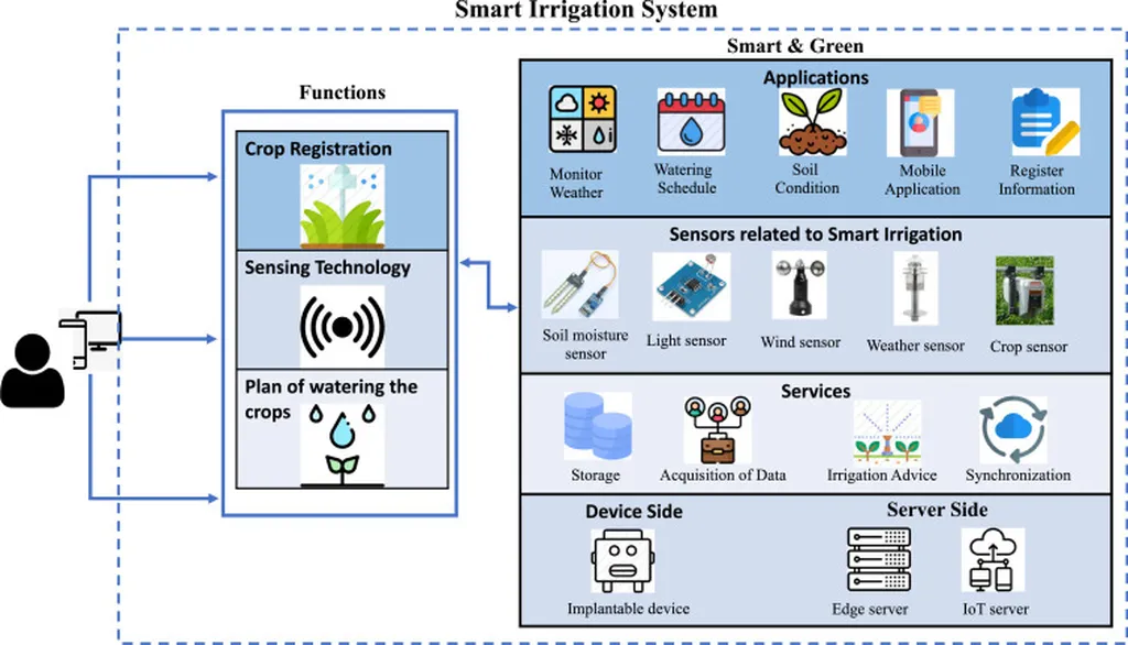
The study, conducted under sugarbeet field conditions, employed a novel precision agriculture approach to model the spatiotemporal distribution of soil water content. Filintas and his team utilized a network of time domain reflectometry (TDR) multisensors to gather data from two different soil types—clay loam and clay—and two moisture-irrigation treatments. The goal was to create accurate, high-resolution maps of root zone moisture profiles, granular, and hydraulic profiles at various soil depths.
One of the key aspects of the research was the evaluation of seven different geostatistical models to determine which best fit the data collected from the TDR sensors. “We found that the exponential model was the most appropriate for kriging modeling and spatial and temporal imaging of soil water content maps when using calibration M1,” Filintas explained. “However, when using calibration M2, both the exponential and spherical models proved to be the most suitable.”
The results of the study are promising, with the best validation measures for accurate profile SWC maps showing a Nash-Sutcliffe model efficiency (NSE) of 0.6657, a mean prediction error (MPE) of 0.00013, and a root mean square error (RMSE) of 0.0385, among other metrics. These findings suggest that the sensor results using calibration M2 are particularly valuable for environmental irrigation decision-making, offering more accurate and timely insights for crop irrigation.
The implications of this research are far-reaching. By providing farmers and scientists with detailed, high-resolution maps of soil water content, the study enables more informed and timely irrigation decisions. This not only optimizes energy use but also saves water, increases water-use efficiency and crop production, reduces costs, and promotes sustainable management of water and soil resources.
As we look to the future, the integration of geostatistical modeling and precision agriculture techniques holds immense potential. “This research is just the beginning,” Filintas noted. “The methods and insights we’ve developed can be applied to various crops and soil types, paving the way for more efficient and sustainable agricultural practices worldwide.”
The study published in ‘Hydrology’ not only advances our understanding of soil moisture dynamics but also underscores the importance of technology in shaping the future of agriculture. By harnessing the power of geostatistics and precision agriculture, we can move towards a more sustainable and efficient use of our precious water resources, ultimately benefiting both the environment and the agricultural sector.

