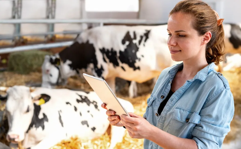
In the heart of Uganda, a groundbreaking study is revolutionizing the way we monitor and mitigate greenhouse gas (GHG) emissions from livestock. Led by Evet Naturinda from the Department of Geomatics and Land Management at Makerere University, this research combines remote sensing and artificial intelligence (AI) to provide a more accurate and efficient method for quantifying emissions from cattle.
The study, published in the journal “Artificial Intelligence in Geosciences” (translated from “Искусственный Интеллект в Геонауках”), focuses on the Kisombwa Ranching Scheme in Mubende District. Traditional methods of data collection and processing are often manual and outdated, leading to inefficiencies in monitoring GHG emissions. Naturinda and his team aimed to change this by leveraging cutting-edge technology.
“Our goal was to develop a more accurate and efficient method for quantifying GHG emissions from livestock,” Naturinda explained. “By using remote sensing and AI, we can provide real-time data that can inform better decision-making for sustainable agriculture and climate change mitigation.”
The research team employed Unmanned Aerial Vehicles (UAVs) to capture images of the study area. They then trained a deep learning algorithm, You Only Look Once (YOLO) v4, to detect cattle from these images. The Simple Online Real-time Tracker (SORT) algorithm was used for automated counting. Methane (CH4) and Nitrous Oxide (N2O) emissions from manure management and enteric fermentation were estimated using the number of cattle and the Tier 1 guidelines from the Intergovernmental Panel on Climate Change (IPCC).
The results were impressive. The total estimated emissions were 321,121.34 kg carbon dioxide equivalent (CO2eq) per year, with CH4 accounting for 88% and N2O making up the remaining 12%. Enteric fermentation contributed the highest emissions, about 99% of the total CH4 emissions and 87% of the total GHGs.
The proposed method achieved an average F1 score of 88.9%, average precision of 97%, and average recall of 82.9% on the testing set of images. These findings demonstrate that remote sensing and AI are a more potent and efficient approach to upscaling the quantification and reporting of animal population and livestock GHG emissions.
The commercial implications for the energy sector are significant. Accurate and efficient monitoring of GHG emissions can inform better policies and practices for sustainable agriculture. This can lead to reduced emissions and improved energy efficiency, ultimately contributing to a more sustainable future.
As Naturinda noted, “This research is just the beginning. The potential applications of remote sensing and AI in agriculture are vast, and we are excited to explore these further.”
The study’s findings could shape future developments in the field, paving the way for more innovative and sustainable solutions in agriculture and climate change mitigation. By harnessing the power of technology, we can make significant strides towards a greener and more sustainable future.