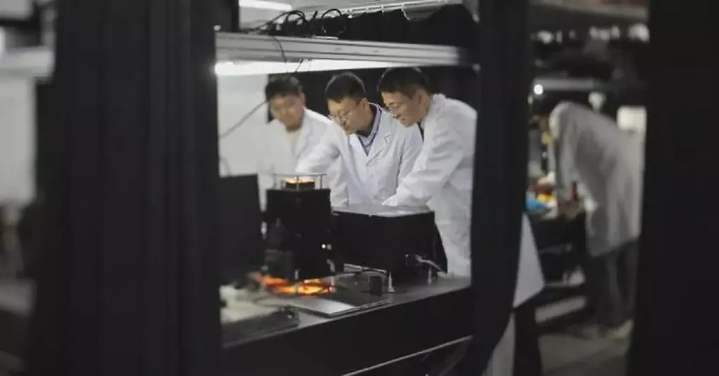
In the rapidly evolving world of remote sensing, a groundbreaking advancement has emerged from the labs of Soochow University in China. Liangjie Huang, a researcher at the School of Optoelectronic Science and Engineering, has led a team to develop a novel hyperspectral imaging system that promises to revolutionize data acquisition for agriculture, environmental monitoring, and even the energy sector. Published in the IEEE Journal of Selected Topics in Applied Earth Observations and Remote Sensing, this innovation could redefine how we gather and utilize spectral data from the skies.
The system, designed for use on aerial autonomous vehicles (AAVs), is a marvel of engineering that simultaneously captures a frame image and three hyperspectral images. This dual capability not only enhances efficiency but also simplifies the complex process of geometric correction. By leveraging the frame image to maintain relative pose information across consecutive frames, the system eliminates the need for high-precision georeferencing devices, ground control points, or even gimbal systems. “This simplification is a game-changer,” says Huang. “It reduces the complexity and cost of hyperspectral imaging while maintaining high precision.”
One of the standout features of this system is its multislit time-sharing sampling strategy. This approach allows for repeated spectral measurements, minimizing sampling loss and preserving data authenticity. The matched geometric correction algorithm further ensures precise spatial alignment, even in challenging conditions. “Our algorithm combines single-slit image mosaicking and multislit fusion, providing a robust solution for accurate data alignment,” explains Huang.
Radiometric calibration is another critical aspect addressed by this research. The system employs a cross-calibration framework and real-time corrections via a downwelling radiance measurement device. This ensures reliable reflectance measurements and high-quality hyperspectral images, mitigating errors caused by variable solar illumination. “This level of radiometric consistency is essential for applications in agriculture and environmental monitoring,” notes Huang.
The implications for the energy sector are particularly compelling. Hyperspectral imaging can be used to monitor solar farms, assess vegetation health around wind turbines, and even identify potential sites for new renewable energy projects. The cost-effective, lightweight, and versatile nature of this system makes it an attractive option for energy companies looking to optimize their operations and reduce costs.
The research team conducted rigorous ground-based and AAV-based experiments to evaluate the system’s performance. The results were impressive, demonstrating superior sampling efficiency, improved geometric alignment accuracy, and greater radiometric consistency compared to conventional methods. “These findings validate the effectiveness of our system and highlight its potential for a wide range of applications,” says Huang.
As the world continues to grapple with climate change and the need for sustainable energy solutions, advancements like this hyperspectral imaging system are more important than ever. By providing a simplified, high-precision, and cost-effective approach to remote sensing, this technology has the potential to shape the future of data acquisition and analysis in various fields. The research, published in the IEEE Journal of Selected Topics in Applied Earth Observations and Remote Sensing, is a testament to the innovative spirit driving the field of remote sensing forward.
In the words of Huang, “This is just the beginning. We are excited to see how our system will be adopted and adapted for various applications, ultimately contributing to a more sustainable and efficient future.”