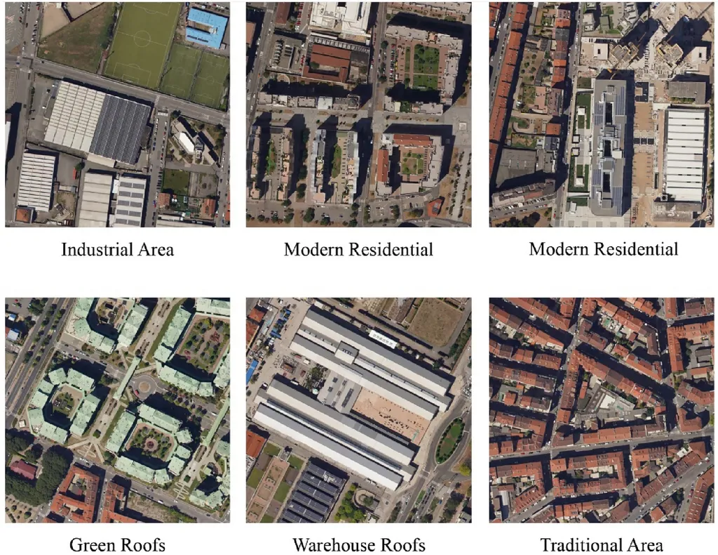
In a groundbreaking development for urban planning and infrastructure monitoring, researchers have harnessed the power of deep learning to automate the classification of road surfaces in OpenStreetMap (OSM). The study, led by R. Parvathi, leverages high-resolution aerial imagery and advanced neural network architectures to enhance the accuracy and completeness of OSM data. This innovation holds significant promise for the energy sector, where precise infrastructure data is crucial for planning and maintenance.
The research, published in *Frontiers in Big Data* (which translates to *Frontiers in Large Data Sets*), addresses a longstanding challenge in OSM: the inconsistency and incompleteness of road surface data. “Accurate road surface information is vital for navigation systems, urban planning, and infrastructure management,” explains Parvathi. “Our goal was to develop a robust, automated system to classify road surfaces efficiently and accurately.”
The team employed a Mask Convolutional Neural Network (MaskCNN) enhanced with attention mechanisms and a hierarchical loss function. This model classifies road surfaces into four types: asphalt, concrete, gravel, and dirt. The data used for training and validation came from the National Agriculture Imagery Program (NAIP) aerial imagery, aligned with existing OSM labels. Preprocessing steps included georeferencing, data augmentation, label cleaning, and class balancing to ensure the model’s robustness.
The architecture of the model is particularly noteworthy. It features a ResNet-50 encoder with squeeze-and-excitation blocks and a U-Net-style decoder with spatial attention. This combination allows the model to capture both high-level and fine-grained features, improving its classification performance. “The attention mechanisms help the model focus on the most relevant parts of the image, which is crucial for distinguishing between similar surface types like gravel and dirt,” Parvathi notes.
The results are impressive. The proposed model achieved an overall accuracy of 92.3% and a mean Intersection over Union (mIoU) of 83.7%, outperforming baseline models such as Support Vector Machines (SVM) and Random Forest. Comparative evaluations against state-of-the-art models like COANet, SA-UNet, and MMFFNet also confirmed its superior performance.
For the energy sector, this research offers significant commercial impacts. Accurate road surface data is essential for planning and maintaining energy infrastructure, such as power lines and pipelines. “With precise and up-to-date road surface information, energy companies can optimize their logistics, reduce maintenance costs, and improve the reliability of their networks,” says Parvathi. This technology could also support the development of autonomous navigation systems, which require detailed and accurate maps to operate effectively.
Despite its successes, the study acknowledges some limitations. Label noise in OSM and class imbalance are ongoing challenges. However, the researchers suggest that future work involving semi-supervised learning and multimodal data integration could address these issues.
The implications of this research extend beyond the energy sector. Urban planners, transportation authorities, and autonomous vehicle developers could all benefit from more accurate and comprehensive road surface data. As the technology continues to evolve, it has the potential to revolutionize how we map and manage our infrastructure.
In the words of Parvathi, “This is just the beginning. The integration of deep learning and aerial imagery opens up new possibilities for enhancing the quality and completeness of geospatial data.” With continued advancements, we can expect to see even more innovative applications of this technology in the years to come.

