In the rapidly evolving world of precision agriculture, drones equipped with thermal cameras are emerging as powerful tools for monitoring crop and soil conditions. A recent study published in the journal *Remote Sensing* (translated from Italian as “Remote Sensing”) highlights a novel approach to extracting valuable agronomic information from thermal orthomosaics using MATLAB. Led by Francesco Paciolla from the Department of Soil, Plant and Food Science at the University of Bari Aldo Moro in Italy, this research could revolutionize how farmers and agronomists gather and utilize thermal data for better crop management.
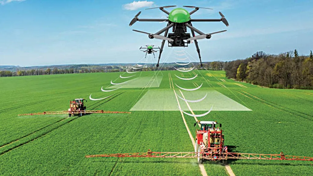
Thermal cameras have become increasingly popular in precision agriculture, offering insights into crop health, soil moisture, and irrigation needs. When mounted on unmanned aerial vehicles (UAVs), these cameras provide high-resolution images that can reveal the spatial and temporal variability of crop conditions. However, the software available for processing thermal images is often limited in functionality. Paciolla and his team addressed this gap by developing a custom MATLAB script to extract detailed agronomic information from thermal orthomosaics captured by the DJI Mavic 3T drone.
The MATLAB script allows users to evaluate temperatures at each point of an orthomosaic, create regions of interest, calculate basic statistics of spatial temperature distribution, and compute the Crop Water Stress Index (CWSI). “This approach enables us to deeply understand the variability of crop and soil conditions, which is crucial for efficient irrigation scheduling, crop maturity assessment, and yield mapping,” Paciolla explained. The ability to process thermal images with such precision opens up new possibilities for farmers to optimize their practices and improve crop yields.
One of the most compelling aspects of this research is its potential to be easily replicated by other scientists and practitioners. “We believe that our method can serve as a valuable tool for anyone working with thermal images in the agricultural sector,” Paciolla added. The simplicity and effectiveness of the MATLAB script make it accessible to a wide range of users, from researchers to commercial farmers.
The implications of this research extend beyond the agricultural sector. In the energy sector, for instance, thermal imaging can be used to monitor solar panels and wind turbines for efficiency and maintenance. The ability to extract detailed thermal data could help energy companies optimize their operations and reduce costs. “The applications of thermal imaging are vast, and our method provides a robust framework for extracting meaningful data from these images,” Paciolla noted.
As the agricultural industry continues to embrace technology, the integration of thermal imaging and UAVs will play a pivotal role in shaping the future of precision agriculture. Paciolla’s research not only advances our understanding of thermal data processing but also paves the way for innovative solutions that can benefit both farmers and the broader energy sector. With the growing demand for sustainable and efficient agricultural practices, this research offers a timely and impactful contribution to the field.