In the heart of Cameroon, the city of Limbe is undergoing a transformation that is reshaping its landscape and posing significant challenges to its agricultural lands and forest cover. A recent study published in the journal *Remote Sensing* (translated as *Distant Observation*) has shed light on the rapid urban expansion in Limbe and its profound impact on the region’s land use and land cover (LULC). The research, led by Lucy Deba Enomah from the School of Geosciences at the University of South Florida, offers a stark reminder of the delicate balance between urban development and environmental sustainability.
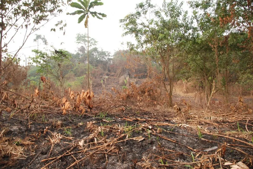
Using advanced remote sensing and GIS technologies, Enomah and her team analyzed LULC changes in Limbe between 1986 and 2020. Their findings reveal a dramatic shift in the city’s landscape, with urban areas expanding by nearly 12.7 km², while forest cover has declined by a staggering 16.9 km². “The pressure for urban areas and new settlements is intense,” Enomah notes. “Much of the land area previously occupied by forest is declining, which has significant implications for food security and livelihoods.”
The study employed maximum supervised classification techniques in ENVI and ArcGIS environments to identify changes in four key classes: agricultural land, forest, urban areas, and other land uses. The classification results showed an overall accuracy of 94.6% for the 2020 image, highlighting the precision of the data used in the analysis. The findings not only quantify the extent of urban expansion but also underscore the urgent need for sustainable land use practices.
For the energy sector, the implications are profound. As urban areas expand, the demand for energy increases, putting pressure on existing infrastructure and resources. The loss of agricultural lands and forest cover can also impact the availability of biomass and other renewable energy sources. “This study provides a spatial method for monitoring LULC variations that can be used as a framework by stakeholders interested in environmentally conscious development and sustainable land use practices,” Enomah explains.
The research highlights the critical need for real-time solutions to assess the implications of urbanization on land use. By providing a comprehensive analysis of LULC changes, the study offers a valuable tool for policymakers, urban planners, and energy sector stakeholders to make informed decisions. “The findings have significant policy implications for sustainable land use and food security,” Enomah emphasizes.
As Limbe continues to grow, the lessons learned from this study can shape future developments in the field. By adopting sustainable land use practices and leveraging advanced remote sensing technologies, cities can balance urban expansion with environmental conservation. The research serves as a call to action for stakeholders to prioritize environmentally conscious development and ensure a sustainable future for Limbe and similar urban areas.
In a world where urbanization is on the rise, the insights from this study are more relevant than ever. By understanding the impact of urban expansion on land use and land cover, we can pave the way for a more sustainable and resilient future. The research published in *Remote Sensing* not only highlights the challenges but also offers a roadmap for addressing them, ensuring that urban growth does not come at the expense of the environment.