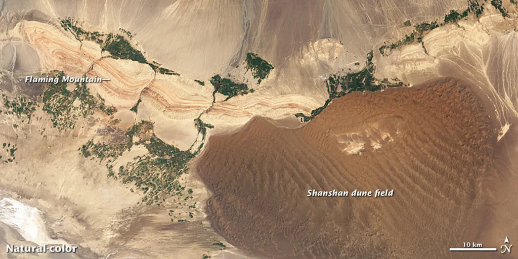
In the heart of Xinjiang, a team of researchers led by Zihan Zhang from the College of Geography and Remote Sensing Science at Xinjiang University has pioneered a novel approach to mapping soil moisture in arid oases, a breakthrough that could significantly impact water resource management and precision agriculture. Their work, recently published in the journal *Remote Sensing* (translated from Chinese as “Remote Sensing”), leverages deep learning and multi-source remote sensing data to provide high-accuracy soil moisture profiles, offering a new tool for sustainable oasis management.
Soil moisture is a critical factor in the energy and water exchange between the soil and atmosphere, playing a pivotal role in the hydrological cycle and agricultural productivity. Traditional methods of monitoring soil moisture are often limited in their ability to provide large-scale, real-time observations. Zhang and his team sought to overcome these limitations by harnessing the power of deep learning to model the complex relationships between spectral features and soil moisture content.
The study focused on the Wei-Ku Oasis, utilizing data from Landsat series and Sentinel-1 satellites, along with in situ multi-layer soil moisture measurements. The researchers applied the BOSS (Boruta with Stability Selection) feature selection algorithm to construct 46 feature parameters, including vegetation indices, soil indices, and microwave indices. This allowed them to identify optimal variable sets for each soil depth.
“By integrating Convolutional Neural Networks (CNN) and Long Short-Term Memory (LSTM) networks, we were able to build a hybrid model that outperformed individual models in predicting soil moisture at various depths,” Zhang explained. The CNN-LSTM-based multi-depth soil moisture inversion model demonstrated superior performance, with the 0–10 cm model achieving the highest accuracy and a testing R² of 0.64. The models for deeper layers (10–20 cm, 20–40 cm, and 40–60 cm) also showed impressive results, with R² values of 0.59, 0.54, and 0.59, respectively.
The spatiotemporal mapping results revealed a vertical gradient in soil moisture, increasing with depth, and a spatial pattern where soil moisture was higher in the central oasis and lower toward the periphery, forming a “center-high, edge-low” distribution. This detailed mapping provides valuable data for water resource management and precision irrigation planning in arid regions.
The implications of this research extend beyond agriculture. In the energy sector, accurate soil moisture data is crucial for understanding the water balance in oasis ecosystems, which can inform the development of sustainable energy projects that rely on water resources. For instance, bioenergy crops that require precise irrigation can benefit from this technology, ensuring efficient water use and maximizing energy output.
“This study offers a high-accuracy method for multi-layer soil moisture remote sensing in arid regions, which can support oasis water resource management and precision irrigation planning,” Zhang noted. The integration of deep learning and remote sensing data provides a scalable solution that can be applied to other arid regions worldwide, potentially revolutionizing water management practices.
As the demand for water resources continues to grow, innovative solutions like those developed by Zhang and his team will be essential in ensuring sustainable water use and agricultural productivity. The research published in *Remote Sensing* not only advances the field of remote sensing but also paves the way for future developments in precision agriculture and water resource management, offering a glimpse into a more sustainable future for arid regions.

