In the arid landscapes of Northeastern Ethiopia, where agriculture is a lifeline, a pressing issue has been silently undermining productivity: soil salinity. A recent study published in the journal *Scientific Reports* (translated to English as “Scientific Reports”) has shed light on the extent and spatial variability of salt-affected soils in the Asaita District of the Afar Region, offering critical insights that could reshape irrigation practices and land management in the area.
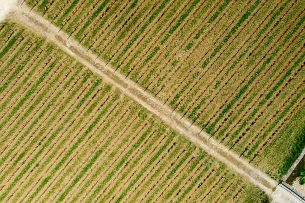
Led by Habtamu Admas from the Natural Resources Management department at the College of Agriculture, Injibara University, the research employed advanced GIS and remote sensing techniques to map and analyze soil salinity. The findings are stark: 100% of the study area is affected by salinity, with 69.85% classified as saline and 30.15% as saline-sodic soils. “The spatial analysis revealed that soil salinity exhibited strong spatial dependence, which means that the salinity levels in one area are likely to influence those in nearby areas,” Admas explained.
The study identified excessive irrigation, poor drainage systems, and low-quality irrigation water as the primary drivers of soil salinity. These factors lead to salt accumulation in the soil profile, posing significant challenges for crop production and irrigation practices. However, the research also offers a glimmer of hope. Improved irrigation practices and drainage interventions have been shown to reduce surface salinity by 25–30%, potentially reclaiming over 3,500 hectares of marginal land.
The commercial impacts of this research are substantial, particularly for the energy sector, which often relies on agricultural feedstocks. “By addressing soil salinity, we can enhance agricultural productivity and ensure a stable supply of feedstocks for bioenergy production,” Admas noted. This could lead to more sustainable and reliable energy sources, benefiting both the agricultural and energy sectors.
The study’s use of ordinary kriging interpolation and GIS-based spatial analysis provides a robust framework for understanding and managing soil salinity. These techniques allow for precise mapping and prediction of salinity levels, enabling targeted interventions and more effective land management strategies.
As the world grapples with the challenges of climate change and land degradation, research like this is crucial. It highlights the urgent need for sustainable soil and water management practices to prevent further land degradation and ensure long-term agricultural productivity. The findings from Asaita District could serve as a model for other regions facing similar challenges, offering a pathway to more resilient and productive agricultural systems.
In the words of Admas, “This research is not just about understanding the problem; it’s about finding practical solutions that can make a real difference on the ground.” As we look to the future, the insights gained from this study could shape the development of more sustainable and effective land management practices, benefiting not only the Afar Region but also similar ecosystems worldwide.