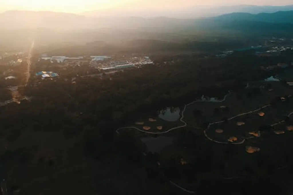
In the heart of Hanoi, where the lush greens of golf courses contrast with the urban sprawl, a groundbreaking study is reshaping how we manage these expansive landscapes. Led by Kim-Anh Nguyen from the Institute of Earth Sciences at the Vietnam Academy of Science and Technology, the research leverages remote sensing and machine learning to monitor and sustainably manage Hanoi’s golf courses. Published in *Tiến bộ Khoa học Trái Đất và Hành tinh* (Progress in Earth and Planetary Science), this work offers a blueprint for balancing economic growth with environmental stewardship.
Golf courses in Hanoi have become economic powerhouses, drawing tourists and boosting local economies. However, their environmental footprint—particularly in terms of land use, water consumption, and pesticide application—has raised concerns. Nguyen’s study addresses these challenges by harnessing the power of satellite imagery from Sentinel-2 and Landsat, combined with geographic information systems (GIS). The research evaluates two detection methods: normalized difference vegetation index (NDVI) analysis and feature recognition.
NDVI analysis, which measures vegetation health, initially showed promise with average NDVI values of 0.55–0.75 for turf grass. However, it struggled to distinguish golf courses from parks and agricultural fields due to overlapping vegetation signatures. Feature recognition, on the other hand, proved far more accurate, correctly identifying over 85% of golf course areas by focusing on distinctive characteristics like bunker shapes and turf grass arrangements.
“The integration of Sentinel-2 imagery with spectral mixing analysis was a game-changer,” Nguyen explained. “It significantly reduced misclassification rates from 18% using Landsat alone to just 7%.” This precision is crucial for creating a reliable remote sensing-based database covering over 2,500 hectares of golf courses in Hanoi, tracking land use trends over the past decade.
The study not only provides a comprehensive database but also offers quantitative insights into sustainable management practices. By monitoring spatial dynamics and land conversion trends, it paves the way for environmentally responsible urban planning. “This research underscores the effectiveness of combining high-resolution satellite data with advanced classification techniques,” Nguyen added. “It’s a powerful tool for supporting sustainable land use planning.”
The implications for the energy sector are profound. As urban areas expand, the demand for sustainable land management grows. Remote sensing technologies can help energy companies and urban planners make informed decisions about land use, ensuring that economic development does not come at the expense of the environment. This research could inspire similar applications in other sectors, from agriculture to infrastructure development, where precision and sustainability are paramount.
Nguyen’s work is a testament to the growing role of remote sensing in urban planning and environmental conservation. By providing a framework for monitoring and managing golf courses sustainably, it sets a precedent for future developments in the field. As cities continue to grow, the integration of technology and environmental science will be key to achieving a balance between economic growth and ecological preservation.

