In the heart of the Midwest, a silent shift is occurring in the fields of Illinois, one that could have significant implications for both agriculture and public health. Elisa Jazan, a researcher from the Department of Civil and Environmental Engineering at Tufts University School of Engineering, has been mapping this change using a geospatial approach, and her findings, published in the journal *Scientific Reports* (known in English as *Scientific Reports*), are both revealing and concerning.
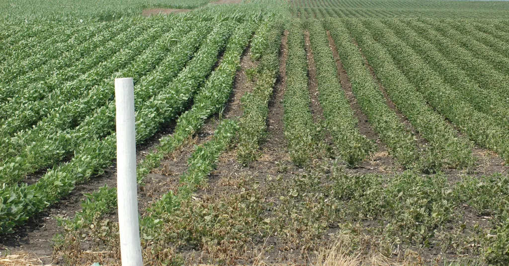
Jazan’s research focuses on the herbicide 2,4-D, a chemical widely used in agriculture, particularly on soybean crops. “We’ve seen a dramatic increase in the use of 2,4-D over the past few years,” Jazan explains. “This is largely due to the evolution of agricultural practices, including the adoption of genetically engineered crops and the need to combat weed resistance.”
Between 2017 and 2023, Jazan and her team observed a median increase of 341% in 2,4-D application on soybeans across counties in Illinois. But the story doesn’t end with the fields. Using a sophisticated crop area and pesticide density buffer model, the researchers identified populations at risk of non-occupational exposure to this herbicide.
In Champaign County, for instance, the team found that nearly all residents—98.9% to 99.7%—lived within a kilometer of soybean crops. Using a threshold of 4.4 kg of 2,4-D within this buffer zone, the percentage of the population potentially exposed to the herbicide rose from 24.5% in 2017 to 44.5% in 2023. When considering a higher threshold of 30 kg of 2,4-D, the potential risk of exposure jumped from affecting just 14 people in 2017 to nearly 47,000 people in 2023.
The implications of these findings are significant. Previous research has linked increased agricultural use of 2,4-D to elevated physiological levels of the herbicide in humans, raising concerns about non-occupational exposure. Jazan’s work provides a cost-effective method for identifying areas where further studies and potentially mitigation strategies are needed.
For the agricultural sector, these findings underscore the need for careful consideration of herbicide use and its broader impacts. As Jazan notes, “This isn’t just about the fields; it’s about the communities that surround them.” The energy sector, which often intersects with agricultural lands, may also need to consider these findings, particularly in terms of land use planning and the potential impacts on nearby communities.
Jazan’s research is a call to action, highlighting the importance of understanding and mitigating the broader impacts of agricultural practices. As she puts it, “We need to think holistically about how we’re using these chemicals and who might be affected.” With this geospatial approach, we now have a powerful tool to do just that.