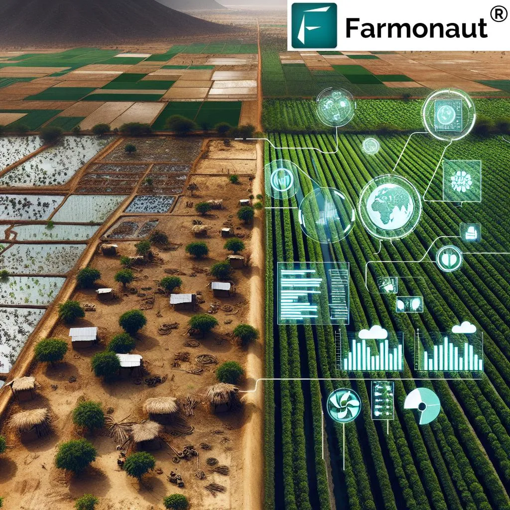
In the heart of Nigeria, a groundbreaking study is reshaping our understanding of soil management and precision agriculture. Led by Tobore Anthony from the Department of Soil Science and Land Management at the Federal University of Agriculture, Abeokuta (FUNAAB), this research combines remote sensing (RS) and geostatistical techniques to model soil property heterogeneity, a critical factor for sustainable food production.
The study, recently published in *Discover Soil* (which translates to *Explore Soil* in English), focuses on the spatial distribution of soil properties, an essential aspect of precision agriculture. By integrating RS metrics such as Number of Patches (NP), Largest Patch (LP), and effective Mesh (MESH) alongside Normalized Difference Vegetation Index (NDVI) and Enhanced Vegetation Index (EVI) from 2014 and 2024, the research provides a comprehensive analysis of the landscape.
“We collected and analyzed 70 geocoded composite soil samples from the top 30 cm of soil,” explains Anthony. “We then interpolated these samples using kriging and added exponential, spherical, and Gaussian models to understand the soil properties better.”
The findings reveal substantial discontinuity and landscape fragmentation, particularly in built-up areas. Notably, the NDVI and EVI indices highlight a significant decrease in vegetation cover over the past decade. The modelling of soil properties based on cross-validation showed that soil properties in the studied area ranged between strong (< 0.25) and weak (0.25 to 0.75) spatial autocorrelations.This research has profound implications for the energy sector, particularly in mitigating anthropogenic climate shocks on soil properties. By understanding the spatial distribution of soil properties, farmers and agricultural businesses can make more informed decisions, leading to increased efficiency and sustainability."Our findings could aid in ensuring landscape sustainability and precision agriculture," says Anthony. "This is crucial for mitigating the impacts of climate change and ensuring food security."The study's insights are not just academic; they have practical applications that could revolutionize how we approach soil management and precision agriculture. By leveraging remote sensing and geostatistical techniques, we can better understand soil properties and their spatial distribution, paving the way for more sustainable and efficient agricultural practices.As we look to the future, this research could shape the development of new technologies and methodologies in the field. By integrating advanced data analysis techniques with traditional soil science, we can create more resilient and sustainable agricultural systems. This, in turn, could have significant commercial impacts, particularly in the energy sector, where understanding soil properties is crucial for bioenergy production and carbon sequestration.In conclusion, Tobore Anthony's research is a significant step forward in our understanding of soil properties and their spatial distribution. By combining remote sensing and geostatistical techniques, we can gain valuable insights that will help us mitigate the impacts of climate change and ensure food security. This research is not just a scientific breakthrough; it's a call to action for a more sustainable and efficient future in agriculture and beyond.