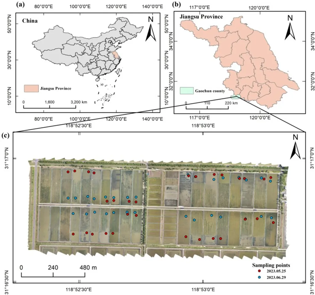
In the heart of Jiangsu, China, a groundbreaking study led by Guangxin Chen from the Nongxin (Nanjing) Smart Agriculture Research Institute is revolutionizing how we monitor water quality in freshwater aquaculture ponds. The research, published in IEEE Access (translated as “IEEE Open Access”), combines the power of uncrewed aerial vehicles (UAVs) and satellite imagery to accurately map dissolved organic matter (DOM) concentrations, a critical indicator of aquatic health.
Aquaculture, a vital sector of the global food industry, faces significant challenges in maintaining water quality. DOM, a complex mixture of organic compounds, plays a pivotal role in aquatic ecosystems. Traditional methods of monitoring DOM involve collecting individual water samples, a process that often fails to capture the spatial variability within ponds. This limitation can lead to inaccurate estimations when applying these measurements to satellite remote sensing data.
Chen and his team addressed this issue by integrating UAV multispectral data with Sentinel-2 satellite images. “We proposed a spatial mapping approach to bridge the scale mismatch between satellite images and ground-based measurements,” Chen explained. This innovative method involves first obtaining high-resolution spatial distribution of DOM in aquaculture ponds through field samples and UAV multispectral images. Then, a spatial mapping relationship is established between the UAV-derived DOM distribution and the corresponding satellite image pixels, providing high-quality samples for large-scale monitoring.
The study employed a self-optimizing model to estimate and map DOM concentration at a county scale. Among the four models constructed using UAV data, the simulated annealing-optimized random forest (SA-RF) model achieved the highest performance, with an impressive R2 of 0.84, RMSE of 2.66mg/L, and MAE of 2.21mg/L. The spatial mapping method significantly improved the accuracy of DOM concentration estimation based on satellite images, increasing the accuracy of the SA-RF model by 10% compared to models constructed directly using satellites and ground measurements, achieving an R2 of 0.78.
The implications of this research are far-reaching. Accurate monitoring of DOM concentrations can enhance the management of aquaculture ponds, leading to improved water quality and increased productivity. This, in turn, can have significant commercial impacts for the energy sector, as efficient aquaculture practices contribute to sustainable food production and reduce the environmental footprint.
Chen’s work not only provides a novel method for UAV-satellite collaborative inversion of DOM concentration in aquaculture ponds but also paves the way for future developments in multi-source remote sensing. As technology advances, the integration of different data sources will become increasingly important for comprehensive environmental monitoring and management.
In a world grappling with the challenges of climate change and resource depletion, Chen’s research offers a beacon of hope. By harnessing the power of technology, we can strive towards a more sustainable future, one that balances the needs of human society with the health of our planet.