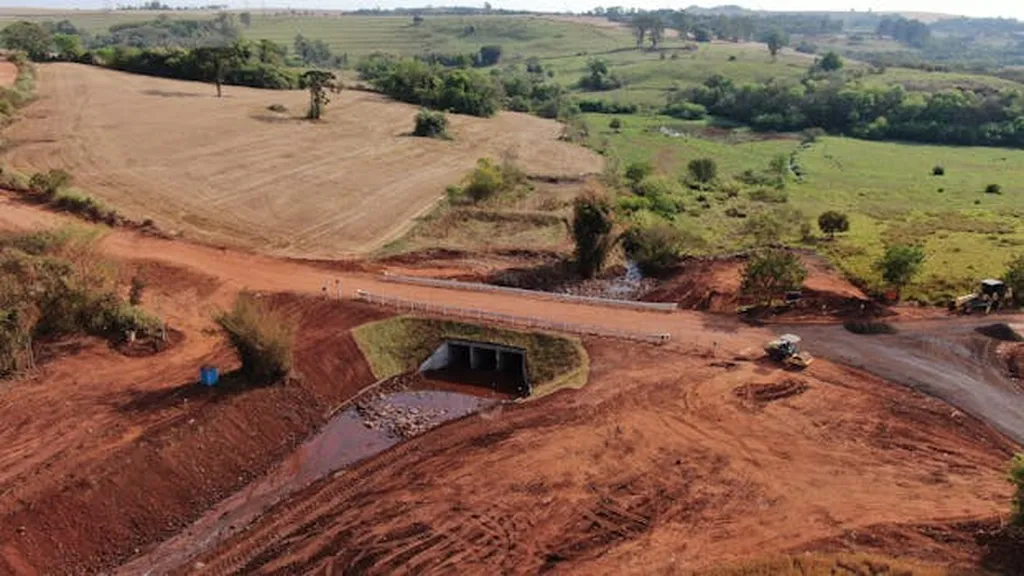
In the heart of Brazil’s Cerrado region, a silent transformation is underway, one that could reshape the way we understand the delicate balance between land use and climate. A groundbreaking study led by Ana Carolina Durigon Boldrin from the Department of Agrarian and Biological Sciences at the State University of Minas Gerais (UEMG) has uncovered a stark correlation between the rapid expansion of agricultural and urban areas and a significant decline in rainfall in the Triângulo Mineiro and Alto Paranaíba regions.
Using advanced satellite data from MapBiomas, ERA5, and NASA POWER, processed through Google Earth Engine and QGIS, Boldrin and her team analyzed rainfall variability from 1990 to 2021. The results are striking: average annual precipitation has plummeted from 1663.35 mm in 1991 to 1128.94 mm in 2022, a 32.14% reduction. Simultaneously, agricultural areas have expanded by 365% and urban areas by 237.59%.
“The data speaks for itself,” Boldrin asserts. “There is a clear and concerning trend here. As we intensify land use for agriculture and urbanization, we are seeing a significant drop in rainfall.”
The study employed statistical methods like the Spearman correlation and the Mann–Kendall trend test to delve deeper into these trends. The findings reveal negative correlations between precipitation and both agriculture (ρ = −0.51) and urbanization (ρ = −0.51), while positive correlations were observed with pasture (ρ = +0.52) and water bodies (ρ = +0.46).
This research is particularly relevant for the energy sector, as rainfall variability directly impacts hydropower generation, which is a cornerstone of Brazil’s energy matrix. “Understanding these patterns is crucial for planning and mitigating the impacts on energy production,” Boldrin explains. “Sustainable land management practices could be key to ensuring a stable climate and, consequently, a stable energy supply.”
Unlike previous studies that have primarily focused on the Amazon, this research shines a light on the often-overlooked Cerrado biome, highlighting its climatic vulnerability. The use of long-term, high-resolution remote sensing data provides a robust analysis of land use impacts, offering valuable insights for policymakers.
“Our findings underscore the importance of adopting sustainable practices such as agroecology, reforestation, and the creation of ecological corridors,” Boldrin emphasizes. “These measures are not just about preserving the environment; they are about ensuring regional climate resilience and supporting the energy sector’s long-term stability.”
Published in the journal ‘Remote Sensing’ (translated from Portuguese as ‘Remote Detection’), this study serves as a wake-up call for balanced agricultural development and water resource preservation. As Boldrin and her team continue to explore these dynamics, their work could shape future policies and practices, ensuring a more sustainable and resilient future for the Cerrado region and beyond.

