In the heart of China’s Jilin Province, a groundbreaking study led by Xiangkun Wan from the State Key Laboratory of Black Soils Conservation and Utilization at the Northeast Institute of Geography and Agroecology, Chinese Academy of Sciences, is revolutionizing the way we monitor soil moisture. The research, published in the journal *Remote Sensing* (translated from Chinese as “Remote Sensing”), introduces a novel approach to precision agriculture that could have significant implications for the energy sector.
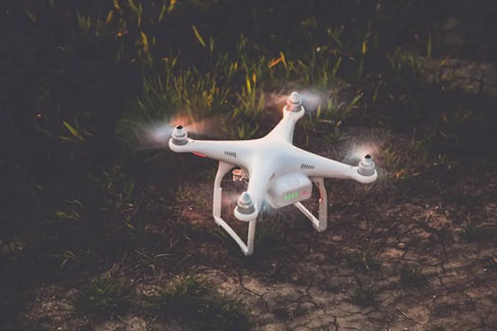
Wan and his team have developed a method to generate high-resolution soil moisture maps using drone-borne X-band microwave radiometry. This technique combines the advantages of both active and passive microwave sensors, offering high spatial resolution and accuracy. “Our goal was to create a system that could provide detailed, real-time soil moisture data at the field scale,” Wan explains. “This is crucial for precision agriculture, where water management is key to optimizing crop yields and conserving resources.”
The study utilized a passive microwave observation system mounted on a drone to capture radiative brightness temperature at a resolution of about one meter. This high-resolution data was then processed using machine learning models to invert soil moisture values. The results were impressive, with the trained inversion model achieving an estimation accuracy of 0.74 in terms of the coefficient of determination and a root mean square error of 2.47%.
The implications of this research extend beyond agriculture. In the energy sector, accurate soil moisture data is essential for managing water resources, optimizing irrigation systems, and improving energy efficiency in agricultural processes. “By providing high-resolution soil moisture maps, we can help energy companies make more informed decisions about water usage and energy consumption,” Wan notes. “This can lead to significant cost savings and environmental benefits.”
The study’s methodology could also pave the way for future developments in remote sensing technology. “Our approach demonstrates the potential of combining drone-borne sensors with machine learning algorithms,” Wan says. “This could open up new possibilities for monitoring other environmental parameters with high precision and accuracy.”
As the world grapples with the challenges of climate change and resource scarcity, innovative solutions like Wan’s research are more important than ever. By providing detailed, real-time data on soil moisture, this technology can help us make more sustainable and efficient use of our natural resources. “We hope that our work will inspire further research in this area and contribute to the development of more advanced remote sensing technologies,” Wan concludes.
In the rapidly evolving field of agritech, Wan’s research stands out as a beacon of innovation. As we look to the future, the integration of drone-borne sensors and machine learning algorithms could revolutionize the way we monitor and manage our environment, paving the way for a more sustainable and efficient future.