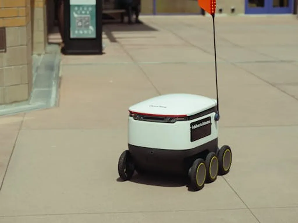
In the realm of autonomous robotics, navigating unstructured terrain has long been a formidable challenge. A recent study published in the journal *Sensors* (translated from Chinese as “传感器”) offers a promising solution, potentially revolutionizing industries from disaster relief to agricultural automation. The research, led by Wei Chen from the College of Physics and Electronic Information Engineering at Minjiang University in Fuzhou, China, introduces a novel algorithm for three-dimensional point cloud reconstruction of unstructured terrain, enhancing the capabilities of autonomous robots.
The study addresses a critical gap in current technology: the difficulty of accurately reconstructing terrain models in environments lacking artificial labels or characterized by persistent noise. “Unstructured terrain environments are typically absent and poorly characterized by artificially labeled features,” explains Wei Chen. “This makes it challenging to find reliable feature correspondences in the point cloud between two consecutive LiDAR scans.” The persistence of noise further complicates the process, leading to lower matching accuracy and larger offsets between neighboring frames.
To tackle these issues, Chen and his team developed an algorithm that combines graph optimization theory with the LiDAR Odometry and Mapping (LOAM) algorithm. By incorporating the robot’s motion information provided by an Inertial Measurement Unit (IMU), the algorithm achieves more accurate and effective reconstruction in unstructured terrain environments. “Experimental results show that our method can achieve accurate and effective reconstruction in unstructured terrain environments,” Chen notes.
The implications of this research are vast, particularly for the energy sector. Autonomous robots equipped with this technology could enhance field exploration, disaster relief, and agricultural automation. For instance, in the energy sector, these robots could navigate complex and hazardous terrains to inspect and maintain infrastructure, such as oil rigs or wind farms, with greater precision and safety.
The integration of IMU data with LiDAR scans represents a significant advancement in the field of autonomous robotics. By improving the accuracy of terrain reconstruction, this technology could pave the way for more reliable and efficient autonomous systems. As Wei Chen’s research demonstrates, the future of autonomous robotics lies in the ability to navigate and reconstruct complex environments with high precision.
This study, published in *Sensors*, not only addresses current technological limitations but also opens new avenues for innovation. The commercial impacts for the energy sector are particularly noteworthy, as the ability to deploy autonomous robots in challenging environments could lead to significant cost savings and improved safety. As the field continues to evolve, the work of researchers like Wei Chen will be instrumental in shaping the future of autonomous robotics.