In the rapidly evolving world of drone technology, a groundbreaking study published in the *Journal of Robotics* (translated from Hungarian as *Robotika Lapja*) is set to revolutionize how we gather and analyze data from the skies. Led by János Besenyő of the Bánki Donát Faculty of Mechanical and Security Technology Engineering, the research delves into the latest sensors mounted on drones, offering a comprehensive analysis of their capabilities and applications.
Drones have long been recognized for their ability to capture high-quality aerial imagery, but the latest advancements in sensor technology are taking this capability to new heights. Besenyő’s research highlights a range of sensors that can be deployed during drone flights, each designed for specific data collection tasks. These include optical technologies like multispectral and hyperspectral imaging, which enable precise material identification, and thermal imaging, which measures temperature variations with remarkable accuracy.
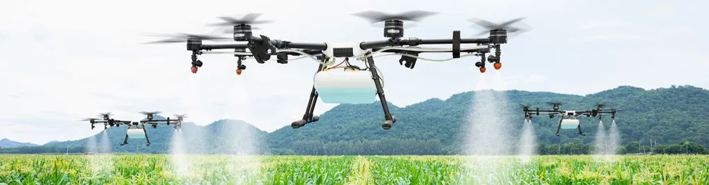
One of the most intriguing developments is the use of laser ranging and light detection and ranging (LiDAR) for generating three-dimensional (3D) surface maps. “These technologies allow us to create detailed topographical maps and monitor changes over time,” Besenyő explains. “This is particularly useful in precision agriculture, where understanding the terrain and vegetation health can lead to more efficient farming practices.”
The research also explores the use of radio detection and ranging (radar) for object discovery and ground penetration radar for mapping underground structures. Synthetic-aperture radar, another novel technology, offers the ability to penetrate dense foliage and detect objects hidden beneath the surface. “This has significant implications for environmental monitoring and disaster response,” Besenyő notes. “By identifying underground water sources or detecting structural damage after an earthquake, we can make more informed decisions and take timely action.”
Acoustic sensors, which process audio data, are another area of focus. These sensors can be used to monitor wildlife, detect leaks in pipelines, or even assess the structural integrity of buildings by analyzing sound waves. “The versatility of these sensors makes them invaluable in a wide range of applications,” Besenyő adds.
The study also covers contact-based measurements, such as ultrasonic sensors for interior structure observation, hardness measurements of metal and other materials, and layer thickness measurements. These sensors provide critical data for quality control and maintenance in industries like construction and manufacturing.
The commercial impacts of these advancements are particularly significant for the energy sector. Precision agriculture, for instance, can benefit from detailed soil and crop analysis, leading to optimized resource use and increased yields. Environmental monitoring can help energy companies identify and mitigate potential hazards, while infrastructure inspection and protection can ensure the safety and efficiency of energy distribution networks.
As the technology continues to evolve, the potential applications of these sensors are likely to expand even further. “The future of drone technology is incredibly exciting,” Besenyő says. “As we develop more sophisticated sensors and algorithms, we will be able to gather even more detailed and accurate data, leading to better decision-making and improved outcomes across a wide range of industries.”
Published in the *Journal of Robotics*, this research not only highlights the current state of drone sensor technology but also points the way forward. As Besenyő and his team continue to push the boundaries of what is possible, the energy sector and other industries stand to benefit greatly from these advancements. The future of aerial sensing is bright, and the skies are no longer the limit.