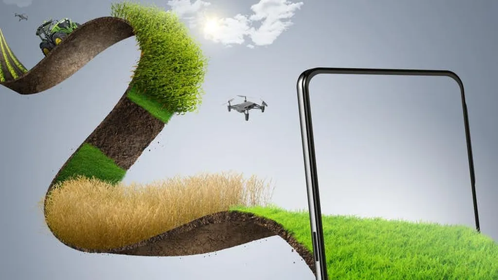
In the heart of China, a technological revolution is unfolding, not in the bustling cities, but in the vast, fertile fields that feed the nation. A team of researchers, led by Xinqin Peng from the School of Computer and Information Engineering at Xiamen University of Technology, has embarked on a mission to revolutionize cropland mapping, with implications that ripple through the agricultural and energy sectors.
The team’s work, recently published in the journal *Remote Sensing* (translated from Chinese as “遥感”), is a testament to the power of high-resolution imagery and machine learning in transforming agricultural management and environmental monitoring. By comparing seven high-resolution cropland maps, ranging from 1 to 10 meters in resolution, the researchers have shed light on the strengths and weaknesses of current mapping technologies.
“Accurate cropland assessment is crucial for ensuring food security and effective agricultural management,” Peng explains. The team’s comprehensive evaluation, using over 163,861 validation samples and national land survey statistical data, revealed a significant variation in the accuracy of the seven maps. The ESA-WorldCover (ESA-WC) map emerged as the most accurate, with an overall accuracy of 0.91, while Sino-LC1 lagged behind with the lowest performance.
The spatial analysis showed that ESA-WC achieved the highest accuracy in nearly 60% of provinces, with AIEC and ESRI-LC following closely. Interestingly, AIEC performed best in the western provinces, while ESRI-LC dominated in the middle and lower reaches of the Yangtze River. This regional variation underscores the importance of tailored approaches to cropland mapping.
The team also found that, on average, the seven maps overestimated cropland areas by 20% compared to statistical data. However, the fused maps, created using five synergistic strategies, showed a remarkable improvement in accuracy, exceeding 0.92. The county-level R² values compared to statistical data reached 0.98, significantly enhancing the reliability of cropland products in over 60% of provincial administrative regions.
The commercial impacts of this research are profound. Accurate cropland mapping is vital for the energy sector, particularly for bioenergy production, which relies heavily on agricultural crops. By providing more precise data on cropland distribution and intensity, this research can help optimize land use for bioenergy crops, balancing the need for food security and renewable energy production.
Moreover, the synergistic strategies proposed by the team offer a roadmap for future developments in high-resolution cropland mapping. As Peng notes, “Based on these results, effective synergistic strategies for high-resolution cropland mapping are proposed.” This could pave the way for more accurate, reliable, and efficient agricultural management, benefiting not only the agricultural sector but also the energy sector and the environment.
In the words of Peng, “This research is a stepping stone towards a future where technology and agriculture intersect to create a more sustainable and food-secure world.” As we stand on the precipice of this technological revolution, the fields of China are not just growing crops; they are cultivating the future.