In the heart of Thailand, a quiet revolution is taking place, one that could reshape how we approach flood management and disaster preparedness in lowland agricultural areas. Dr. Sittichai Choosumrong, a researcher from the Department of Natural Resources and Environment at Naresuan University, has spearheaded a project that combines the Internet of Things (IoT) and Geographic Information System (GIS) technology to create a low-cost, real-time flood monitoring system. This innovative approach, detailed in a recent study published in *Sensors* (which translates to “สัญญาณ” in Thai), promises to bring a new level of precision and affordability to flood prediction and response.
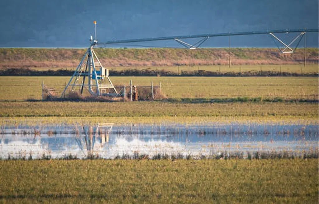
The project, focused on the Bang Rakam model area in Phitsanulok province, addresses a critical need for efficient flood control in agricultural regions. By installing ten monitoring stations equipped with ultrasonic sensors around sub-catchment areas, the system provides highly accurate water-level readings. These sensors collect flood level data, which is then processed using a 1-meter Digital Elevation Model (DEM) and Python-based geospatial analysis to define inundation zones and create flood depth maps.
“This integration of sensor technology and spatial data analysis offers a comprehensive understanding of flood dynamics,” Dr. Choosumrong explains. “It’s not just about monitoring water levels; it’s about providing actionable insights that can inform better decision-making and improve disaster preparedness.”
The automated system generates dynamic flood maps that offer detailed information on flood extent, depth, and water volume within each sub-catchment. This real-time data is invaluable for enhancing early-warning systems and improving water resource management. The study highlights the potential of low-cost IoT-based flood monitoring devices as a scalable solution for communities at risk, setting a new standard for flood management tactics in lowland areas.
The commercial implications of this research are significant, particularly for the energy sector. Flooding can disrupt energy infrastructure, leading to costly repairs and downtime. By providing accurate, real-time data, this system can help energy companies anticipate and mitigate potential risks, ensuring the continuity of operations and reducing financial losses.
Moreover, the affordability of the system makes it accessible to a wide range of stakeholders, from local governments to private enterprises. “Our goal is to make this technology available to as many communities as possible,” Dr. Choosumrong states. “By doing so, we can enhance disaster preparedness and improve the resilience of agricultural areas to flooding.”
The study’s findings not only demonstrate the promise of IoT-based flood monitoring but also pave the way for future developments in the field. As technology continues to evolve, the integration of advanced sensors, machine learning algorithms, and real-time data analysis could further enhance the accuracy and effectiveness of flood prediction and response systems.
In the quest for sustainable and resilient agricultural practices, this research offers a beacon of hope. By combining cutting-edge technology with practical, low-cost solutions, Dr. Choosumrong and his team are setting a new benchmark for flood management. Their work serves as a testament to the power of innovation in addressing some of the most pressing challenges of our time.