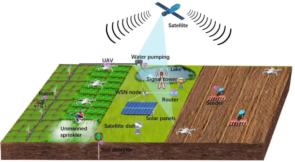
In the quest to better understand and manage soil organic carbon (SOC), a critical component of the global carbon cycle, researchers have turned to cutting-edge technology and machine learning to gain deeper insights. A recent study led by Imad El-Jamaoui from the Department of Agricultural Chemistry, Geology, and Pedology at the University of Murcia, Spain, has compared the effectiveness of UAV (unmanned aerial vehicle) imagery and Sentinel-2 satellite imagery in estimating SOC, with promising results that could reshape precision agriculture and carbon monitoring efforts.
The study, published in the journal *Sensors* (translated from Spanish as “Sensors”), evaluated the performance of these imaging technologies using four machine-learning models: Multiple Linear Regression (MLR), Support Vector Regression (SVR), Random Forest (RF), and Artificial Neural Networks (ANNs). The findings reveal that UAV imagery, with its finer spatial resolution of 5–10 cm, outperformed Sentinel-2 imagery, which has a resolution of 10–20 m, in detecting local SOC variability. This higher resolution allows for more accurate and detailed SOC mapping at local scales, which is crucial for precision agriculture and real-time monitoring.
“UAV imagery provides a level of detail that is simply unattainable with satellite imagery,” El-Jamaoui explained. “This precision is vital for farmers and land managers who need to make informed decisions about soil health and carbon sequestration strategies.”
Among the machine-learning models tested, the Random Forest algorithm emerged as the most accurate, achieving an R² of up to 0.85 using UAV data and 0.65 using Sentinel-2 data, along with low RMSE values. All models confirmed the superiority of UAV imagery based on key error metrics such as SSE, MSE, RMSE, and NSE. While Sentinel-2 imagery remains valuable for regional assessments, the combination of UAV imagery and the Random Forest model offers the most reliable SOC estimates at local scales.
The spatial SOC maps generated from both UAV and Sentinel-2 imagery showed more nuanced spatial variability than standard interpolation techniques. Although prediction accuracy using UAV-based models was slightly lower in some cases, UAV imagery provided greater spatial detail in SOC distribution. However, this comes with higher acquisition and processing costs compared to freely available Sentinel-2 imagery.
“For commercial applications, particularly in the energy sector, the ability to accurately map SOC can inform carbon sequestration projects and enhance the efficiency of bioenergy crops,” El-Jamaoui noted. “This technology can help optimize land use and improve the sustainability of agricultural practices.”
The study suggests a complementary approach where UAV imagery is used for detailed, site-specific SOC estimations, while Sentinel-2 data is employed for broader regional-to-global SOC mapping efforts. This dual approach could significantly enhance the accuracy and efficiency of carbon monitoring and management, benefiting both the agricultural and energy sectors.
As the world grapples with the challenges of climate change and the need for sustainable land use practices, the insights from this research offer a promising path forward. By leveraging advanced imaging technologies and machine learning, we can gain a deeper understanding of soil health and carbon dynamics, paving the way for more informed and effective environmental stewardship.

