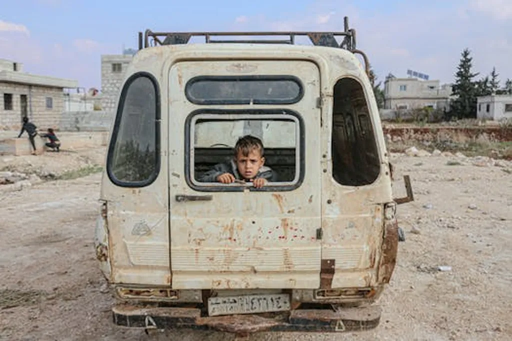
In the war-torn regions of Eastern Amhara, Ethiopia, a silent crisis is unfolding, one that threatens the lifeblood of the local economy: irrigated agriculture. A recent study, published in the journal “Cogent Food & Agriculture” (which translates to “Thoughtful Food & Agriculture”), has shed light on the devastating impact of the Tigray People’s Liberation Front (TPLF) invasion on the region’s vital irrigation systems. The research, led by Daniel Wonde Mebrie from the Water Resources and Irrigation Engineering Department at Woldia Institute of Technology, employs a remote sensing approach to quantify the damage, offering a stark reminder of the commercial and humanitarian costs of conflict.
The study focuses on Raya Kobo Woreda, a region known for its productive irrigated agriculture. By analyzing data from Sentinel-2B satellites, Mebrie and his team derived the Normalized Difference Vegetation Index (NDVI) to identify vegetated areas and track changes over time. The results are alarming. “We observed a 69.35% reduction in vegetation in the post-war period compared to the pre-war period,” Mebrie explains. This translates to a loss of 54,500.37 hectares of vegetated land, with agricultural land, particularly irrigation areas, accounting for 12,900.24 hectares.
Ground truth data collected in the field corroborated these findings, revealing a significant depletion of irrigated land, with 11,612.30 hectares lost. The study highlights the multifaceted impact of the invasion, including the theft of agricultural implements and inputs, the displacement of farmers and service providers, and the destruction of irrigation infrastructure and crops. “The nursery centers used to produce seedlings for irrigation were damaged,” Mebrie notes. “Market availability for purchasing irrigation inputs and selling irrigation output were closed.”
The commercial implications of this loss are profound. Irrigated agriculture is a cornerstone of the local economy, providing livelihoods for countless families and contributing significantly to regional food security. The destruction of irrigation systems not only disrupts agricultural productivity but also has ripple effects throughout the supply chain, from input providers to output markets.
The study’s use of remote sensing technology offers a powerful tool for assessing the impact of conflict on agriculture. “We concluded that remotely sensed values could be used to identify croplands in a war zone,” Mebrie states. This approach provides a rapid, cost-effective means of monitoring agricultural land use and identifying areas in need of intervention.
Looking ahead, this research underscores the need for innovative solutions to mitigate the impact of conflict on agriculture. Remote sensing technology, coupled with ground truth data, can play a crucial role in post-conflict reconstruction and rehabilitation efforts. By providing accurate, up-to-date information on agricultural land use, this technology can help stakeholders prioritize interventions, allocate resources effectively, and monitor progress over time.
Moreover, the study highlights the importance of investing in resilient agricultural systems that can withstand the shocks of conflict and climate change. By diversifying livelihoods, improving infrastructure, and enhancing access to markets, communities can build their resilience to future crises.
In the face of ongoing conflict and climate change, the need for such innovative approaches has never been greater. As Mebrie’s research demonstrates, the stakes are high, and the time for action is now. By leveraging the power of remote sensing technology and investing in resilient agricultural systems, we can help build a more sustainable and secure future for all.