In the rapidly evolving world of urban planning and environmental monitoring, a groundbreaking study led by Kusum Yadav from the College of Computer Science and Engineering at the University of Ha’il in Saudi Arabia is set to revolutionize how we extract and analyze urban features from high-resolution satellite imagery. Published in the IEEE Journal of Selected Topics in Applied Earth Observations and Remote Sensing (translated to English as “IEEE Journal of Selected Topics in Applied Earth Observations and Remote Sensing”), this research introduces an enhanced rule-based fuzzy segmentation approach that promises to streamline and automate the process of identifying key urban elements such as houses, roads, trees, and agricultural fields.
The study combines multiresolution segmentation and spectral difference segmentation, creating a robust method that significantly improves classification accuracy. “By integrating these segmentation techniques, we can more effectively identify and classify various urban features,” Yadav explains. “This approach not only enhances the precision of our analyses but also reduces the need for additional GIS data, making it a cost-effective solution.”
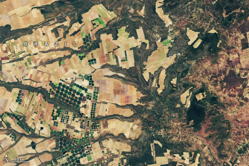
One of the standout achievements of this research is the development of a fuzzy rule set using satellite datasets from IKONOS, LISS IV, and WorldView-2. This innovation has demonstrated remarkable success in extracting specific features from different types of imagery. For instance, buildings were accurately extracted from IKONOS images, agricultural fields from LISS IV images, and roads and vegetation from WorldView-2 images. The method’s map updating capability was also showcased for scales of 1:2500 and 1:1000, respectively, for buildings and agricultural fields.
To further enhance classification reliability and mitigate spectral confusion, the researchers employed the gray-level cooccurrence matrix (GLCM) texture analysis. This addition ensures that the extracted features are not only accurate but also reliable, providing a solid foundation for urban planning, land use mapping, and environmental monitoring.
The implications of this research are far-reaching, particularly for the energy sector. Accurate and automated feature extraction can significantly improve the efficiency of urban planning and land use management, leading to better-informed decisions that can optimize energy distribution and infrastructure development. “This method offers a scalable and efficient alternative to traditional manual feature extraction,” Yadav notes. “It has the potential to transform how we approach urban planning and environmental monitoring, making the process more data-driven and precise.”
As the world continues to grapple with the challenges of urbanization and environmental sustainability, this research provides a timely and innovative solution. By automating the feature extraction process, it reduces the need for extensive manual labor and additional data, making it a cost-effective and scalable approach. This not only benefits urban planners and environmental monitors but also has significant commercial impacts for the energy sector, enabling more efficient and informed decision-making.
In the realm of agritech and remote sensing, this study marks a significant step forward. It opens up new possibilities for automating and enhancing the analysis of high-resolution satellite imagery, paving the way for more accurate and reliable urban feature extraction. As the technology continues to evolve, we can expect to see even more innovative applications of this method, shaping the future of urban planning and environmental monitoring.