In the heart of China’s Dabie Mountains, a groundbreaking study led by Yuyao Wang from the School of Surveying and Land Information Engineering at Henan Polytechnic University is revolutionizing how we identify rice fields in mountainous regions. The research, published in the journal *Remote Sensing* (translated as “Remote Sensing”), addresses significant challenges faced by traditional methods, offering a novel approach that could reshape agricultural management and food security assessments.
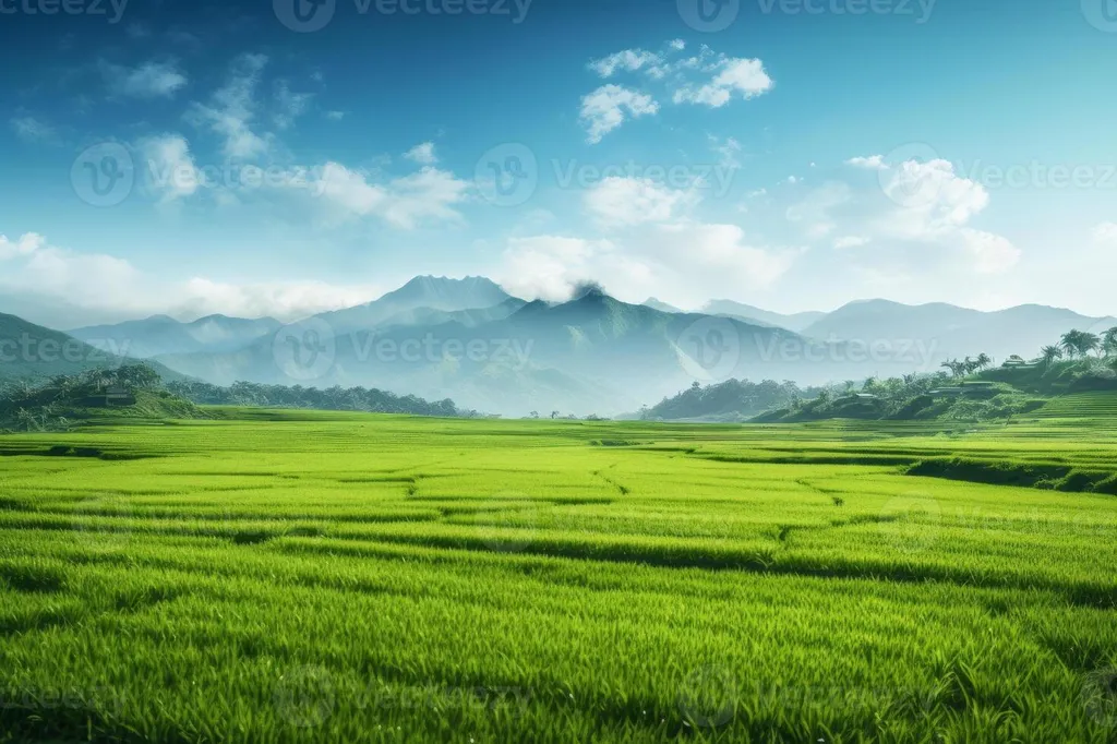
Rice, a staple crop for millions, has long been a cornerstone of China’s agricultural landscape. However, identifying rice fields, especially in mountainous terrains, has been fraught with difficulties. Cloud cover, complex topography, and limited data utilization have hindered accurate mapping, impacting everything from crop monitoring to food security planning. Wang’s research introduces a game-changing method that leverages Graph Convolutional Networks (GCN) to integrate multi-source remote sensing data, tailored specifically for the intricate terrains of mountainous regions.
The study’s innovative approach begins with a coarse-to-fine cloud removal strategy. By fusing synthetic aperture radar (SAR) imagery with temporally adjacent optical remote sensing imagery, the team achieved unprecedented cloud removal accuracy. This step is crucial as it provides clear, reliable optical data for subsequent rice mapping. “The integration of SAR and optical data has been a significant breakthrough,” Wang explains. “It allows us to overcome the persistent challenge of cloud contamination, which has historically obscured our view of these critical agricultural areas.”
Beyond cloud removal, the research constructs a comprehensive multi-feature library that includes spectral, texture, polarization, and terrain attributes. Through a meticulous selection process, the team identified 19 key features that enhance classification performance. This multi-dimensional approach ensures that no critical data is overlooked, providing a more holistic and accurate picture of rice field distribution.
The results are impressive. The proposed method achieved an overall accuracy of 98.3% for rice field identification in Huoshan County, with a 96.8% consistency compared to statistical yearbook data. Ablation experiments further demonstrated that incorporating terrain features substantially improved accuracy under complex topographic conditions. “The inclusion of terrain features has been a game-changer,” Wang notes. “It allows us to adapt to the unique challenges posed by mountainous regions, ensuring that our identification methods are both robust and reliable.”
Comparative evaluations against traditional methods like support vector machine (SVM), random forest (RF), and U-Net models confirmed the superiority of the proposed method. It outperformed these models in terms of accuracy, local performance, terrain adaptability, training sample requirement, and computational cost. This research not only validates the effectiveness of the new method but also highlights its applicability for high-precision rice field distribution mapping in mountainous environments.
The implications of this research are far-reaching. Accurate rice field identification is crucial for agricultural management, food security assessments, and even policy-making. By providing a more precise and reliable method for mapping rice fields, this study could significantly enhance our ability to monitor and manage agricultural resources. “This method has the potential to transform how we approach agricultural management,” Wang says. “It offers a more accurate, efficient, and adaptable solution that can be applied in various terrains and conditions.”
As we look to the future, the integration of advanced technologies like GCN and multi-source remote sensing data holds promise for further advancements in the field. This research not only addresses current challenges but also paves the way for innovative solutions that could benefit the agricultural sector and beyond. With the publication of this study in *Remote Sensing*, the stage is set for a new era of precision agriculture, one that is more accurate, efficient, and adaptable to the complexities of our natural landscapes.