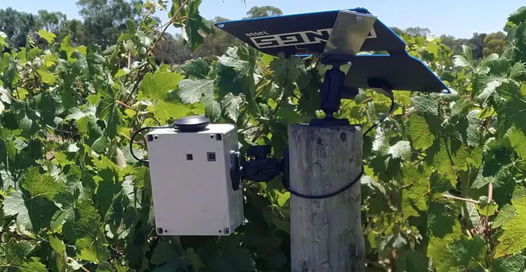
In the heart of Austria, researchers are pioneering a method that could revolutionize how vineyards are managed, with implications that stretch far beyond the grapevine. Stefan Ruess, from the Department of Geoinformatics at the University of Salzburg, has led a study that employs Uncrewed Aerial Systems (UAS) to monitor individual grapevines with unprecedented precision. The research, published in the journal *Remote Sensing* (translated as “Remote Sensing”), offers a glimpse into the future of precision agriculture, where data-driven decisions could boost yields and sustainability.
The study introduces a spatially explicit workflow that integrates UAS imagery, 3D point-cloud analysis, and Object-Based Image Analysis (OBIA) to detect and monitor individual grapevines throughout the growing season. This method stands out because it identifies vines directly from 3D point clouds without the need for prior training data or predefined row structures. “The accuracy is remarkable,” Ruess explains. “We achieved a mean Euclidean distance of just 10.7 cm to the reference points, which means we can pinpoint each vine with high precision.”
The OBIA framework segments vine vegetation based on spectral and geometric features, automatically excluding non-vine elements like soil, grass, and infrastructure. This ensures that vegetation indices are computed exclusively from vine canopy objects, providing an accurate per-vine assessment of vigour. “This is a game-changer,” Ruess adds. “It allows us to compute vegetation indices without the bias of soil signals or internal canopy gaps.”
The research goes further by calculating NDRE (Normalized Difference Red Edge) values at three phenological stages—flowering, veraison, and harvest—and analyzing them using Local Indicators of Spatial Association (LISA). This method detects spatial clusters and outliers, accounting for spatial continuity and neighborhood effects. “We can identify stable low-vigour zones, expanding high-vigour clusters, and even spot isolated stressed vines early on,” Ruess notes. “This spatial analysis is crucial for understanding the dynamics within the vineyard.”
The study also highlights a strong correlation (R² = 0.73) between per-vine NDRE values and actual yield, demonstrating that NDRE-derived vigour reliably reflects vine productivity. This correlation is a testament to the method’s potential for site-specific vineyard management, enabling timely interventions at the individual plant level before stress propagates spatially.
The implications of this research extend beyond viticulture. The precision and efficiency of UAS-based monitoring could be adapted to other crops, enhancing overall agricultural productivity and sustainability. “This method provides a transferable, data-driven framework for site-specific management,” Ruess explains. “It’s about making timely interventions before issues escalate, which is crucial for any agricultural sector.”
As the world grapples with climate change and the need for sustainable practices, such innovations are more critical than ever. The ability to monitor and manage crops at an individual plant level could significantly reduce resource waste and improve yields, benefiting both farmers and the environment.
In the broader context of precision agriculture, this research underscores the importance of integrating advanced technologies like UAS, photogrammetry, and OBIA. These tools not only enhance data collection and analysis but also pave the way for more informed decision-making in agriculture. As Ruess and his team continue to refine their methods, the potential for widespread adoption in the agricultural sector grows, promising a future where technology and sustainability go hand in hand.
The study, published in *Remote Sensing*, offers a compelling example of how cutting-edge technology can be harnessed to address real-world challenges. As the agricultural sector continues to evolve, the insights gained from this research could shape the future of farming, making it more efficient, sustainable, and resilient.