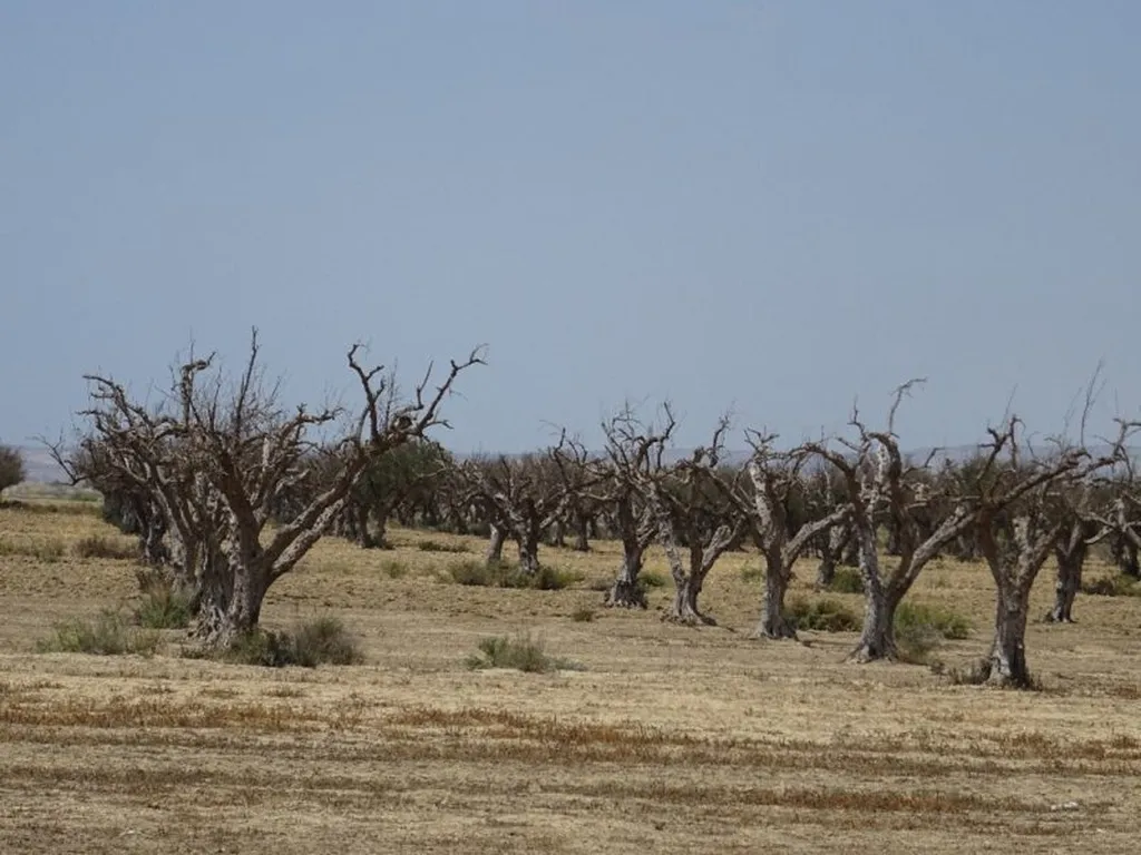
In the arid landscapes of southwestern Algeria, where water is a precious commodity, a recent study has shed light on the critical role of groundwater in sustaining agricultural activities. The research, led by Bellal Hamma from the Environmental and Energy Systems Laboratory (LSEE) at the Ali Kafi University Center in Tindouf, provides a comprehensive hydrogeochemical assessment of groundwater suitability for agricultural use in the Ksour Mountains region. Published in the journal Scientific Reports, the study offers valuable insights that could shape future water management strategies and agricultural practices in arid regions.
The Ain-Sefra region, characterized by its dry climate, relies heavily on groundwater for both irrigation and domestic purposes. With no other conventional water resources available, groundwater is the lifeblood of the region’s development. Recognizing its importance, Hamma and his team employed a combination of water quality indices and Geographic Information Systems (GIS) techniques to map and evaluate the groundwater’s agricultural suitability.
The study analyzed several physicochemical variables, including major elements, electrical conductivity (EC), pH, temperature, and total dissolved solids (TDS), from 43 water samples. The hydrochemical groundwater facies identified were Ca–Mg–SO4–Cl, Ca–Cl, Ca–Mg–HCO3, and Na–Cl, indicating processes such as evaporation, reverse ion exchange, and rock–water interaction. “These findings highlight the complex interplay between geological processes and water chemistry,” Hamma explained. “Understanding these interactions is crucial for effective water resource management.”
The research also revealed that the groundwater system is oversaturated with minerals like aragonite, calcite, dolomite, anhydrite, and gypsum, while halite is undersaturated. To assess the groundwater’s suitability for irrigation, the team utilized various indices, including EC, salinity, sodium absorption rate (SAR), sodium percentage (% Na), residual sodium carbonate (RSC), magnesium hazard (MH), Kelly ratio (KR), and permeability index (PI).
While the groundwater was found to be generally suitable for agricultural use, the study emphasizes the need for salinity control measures. Spatial variation maps of water quality indices showed that groundwater from the downstream part of the region is highly mineralized, whereas low mineralized water is observed in the western and southwestern parts. “This spatial variability underscores the importance of targeted water management strategies,” Hamma noted. “By identifying areas with varying water quality, we can optimize irrigation practices and minimize potential adverse effects on soil and crops.”
The implications of this research extend beyond the Ain-Sefra region. In an era of climate change and increasing water scarcity, understanding the hydrogeochemical characteristics of groundwater is essential for sustainable agricultural development. The integration of GIS techniques with traditional water quality assessments provides a powerful tool for mapping and managing water resources effectively.
As Hamma’s study demonstrates, the future of agriculture in arid regions lies in the careful management of groundwater resources. By leveraging advanced technologies and scientific insights, stakeholders can make informed decisions that balance the needs of agriculture with the preservation of vital water resources. This research not only contributes to the scientific community but also offers practical solutions for farmers, policymakers, and water resource managers.
In the words of Hamma, “Our goal is to provide a scientific foundation for sustainable water management practices. By doing so, we hope to support the agricultural sector and ensure food security in regions facing water scarcity.” As the world grapples with the challenges of climate change and water shortages, studies like this one are more important than ever. They pave the way for innovative solutions that can sustain both people and the planet.

