In the heart of China’s agricultural innovation, a groundbreaking development is set to redefine how farmers and agribusinesses manage their land. Researchers have introduced FieldMapper, a novel framework that automates the delineation of agricultural fields using a combination of satellite imagery and data from agricultural machinery. This advancement, published in the IEEE Journal of Selected Topics in Applied Earth Observations and Remote Sensing, promises to streamline operations, reduce costs, and enhance precision in the agriculture sector.
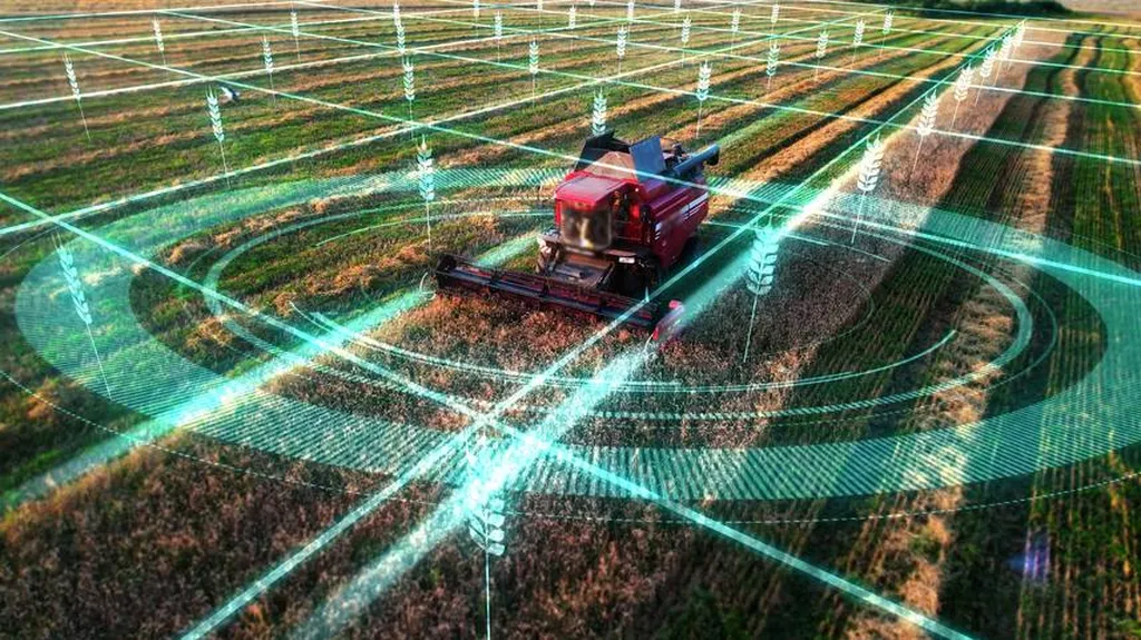
FieldMapper leverages the power of multimodal learning, integrating remote sensing imagery with machinery trajectory data to create accurate field boundary maps. Unlike traditional methods that rely heavily on manual labor and extensive human annotations, FieldMapper employs a vision foundation model to generate initial boundary proposals. These proposals are then refined using weakly supervised learning, aligning them with the coverage patterns of field machinery. This innovative approach not only reduces the need for dense manual labeling but also significantly improves the accuracy and generalization ability of the delineation process.
“The key innovation here is the synergy between remote sensing and machinery data,” explains Shuliang Wang, lead author of the study and a researcher at the School of Computer Science and Technology, Beijing Institute of Technology. “By combining these data sources, we can achieve a level of precision that was previously unattainable.”
The implications for the agriculture sector are profound. Accurate field delineation is crucial for various applications, including field protection, yield forecasting, and land use regulation. With FieldMapper, farmers and agribusinesses can optimize their operations, reduce resource waste, and improve overall productivity. The framework’s ability to work with existing data from autonomous agricultural operations makes it a practical and scalable solution for real-world applications.
“This technology has the potential to revolutionize the way we manage agricultural land,” says Wang. “It can help farmers make more informed decisions, leading to better resource management and increased yields.”
The commercial impact of FieldMapper is already being recognized. By automating the delineation process, the framework can significantly reduce labor costs and improve the efficiency of agricultural operations. This is particularly important in an era where labor shortages and rising costs are major challenges for the agriculture sector.
Looking ahead, the success of FieldMapper opens up new avenues for research and development in the field of agricultural technology. The integration of multimodal data sources and the use of weakly supervised learning techniques are just the beginning. Future developments may include the incorporation of additional data sources, such as weather patterns and soil data, to further enhance the accuracy and robustness of field delineation.
As the agriculture sector continues to evolve, innovations like FieldMapper will play a crucial role in shaping the future of farming. By leveraging the power of technology, farmers and agribusinesses can overcome longstanding challenges and pave the way for a more sustainable and productive agricultural landscape. The research, led by Shuliang Wang at the School of Computer Science and Technology, Beijing Institute of Technology, and published in the IEEE Journal of Selected Topics in Applied Earth Observations and Remote Sensing, is a testament to the transformative potential of agritech innovations.