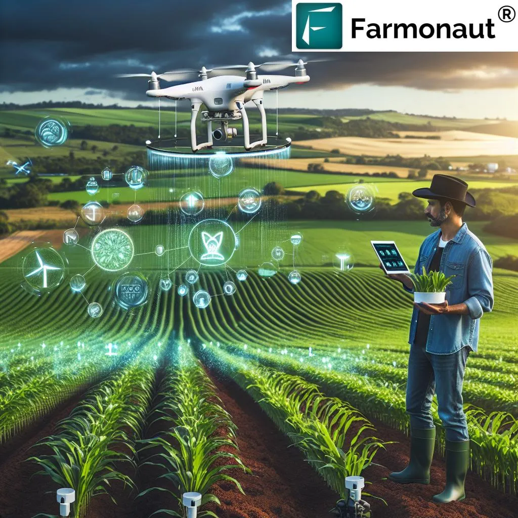
In the ever-evolving landscape of agricultural technology, a groundbreaking development has emerged that promises to revolutionize cropland monitoring and management. Researchers have introduced a novel framework called STMTNet, designed to tackle the persistent challenges of cropland change detection in remote sensing images. This innovation, detailed in a recent study published in the IEEE Journal of Selected Topics in Applied Earth Observations and Remote Sensing, could significantly enhance the precision and efficiency of agricultural practices worldwide.
The study, led by Junyi LV from the Xinjiang Engineering Research Center of Big Data and Intelligent Software at Xinjiang University, addresses the critical issues of spatial heterogeneity and temporal noise that have long hindered accurate cropland change detection. These factors often lead to misaligned representations and erroneous change identification, posing substantial challenges for farmers and agricultural planners.
STMTNet stands out as a dual-stream framework, combining the strengths of FastSAM and VGGNet16. FastSAM, a lightweight segmentation backbone, excels at extracting geometric topological features and ridge orientation details of cropland parcels. Meanwhile, VGGNet16 captures macroscopic semantic features of crop-growth patterns, enabling a comprehensive geometric-semantic analysis. This dual approach ensures that both microscopic textures and macroscopic patterns are considered, leading to more accurate and reliable results.
One of the key innovations in STMTNet is the geometric-contextual aggregation module (GCAM), which employs 3-D spatial parsing and dual-path pooling to mitigate blurred boundaries and texture discontinuities. This enhancement significantly improves cropland boundary detection, a critical aspect of effective land management. Additionally, the spatiotemporal adaptive gating module (TSAGM) uses dynamic cross-temporal feature weighting to resolve confusion between seasonal fluctuations and permanent land-use changes, effectively suppressing temporal noise such as cloud cover.
The multiscale semantic enhancement module (MSEM) further refines the process by constructing a cross-granularity feature pyramid. This integration of various scales of features ensures that both fine details and broader patterns are accurately captured, leading to a more holistic understanding of cropland changes.
The practical implications of STMTNet are vast. Accurate cropland change detection is essential for optimizing crop yield and promoting sustainable land management. Farmers can benefit from precise monitoring of their fields, enabling them to make informed decisions about planting, irrigation, and harvesting. This technology can also support government agencies and agricultural organizations in planning and implementing effective land-use policies, ultimately contributing to food security and environmental sustainability.
“STMTNet represents a significant advancement in the field of remote sensing and agricultural technology,” said Junyi LV. “By addressing the challenges of spatial heterogeneity and temporal noise, we have developed a tool that can provide farmers and agricultural planners with the accurate and reliable information they need to make critical decisions.”
The study’s comparative experiments on four remote sensing image change detection datasets, including three cropland datasets (CLCD, PX-CLCD, and GFSW-CLCD) and one building dataset (LEVIR-CD), demonstrate that STMTNet outperforms ten state-of-the-art methods. The framework consistently leads in F1 scores and intersection over union values, validating its superior performance.
As the agricultural sector continues to evolve, the integration of advanced technologies like STMTNet will play a pivotal role in shaping the future of farming. This research not only highlights the potential of multiscale features and spatiotemporal analysis but also paves the way for further innovations in the field. By leveraging the power of remote sensing and artificial intelligence, we can look forward to a future where agriculture is more efficient, sustainable, and resilient.