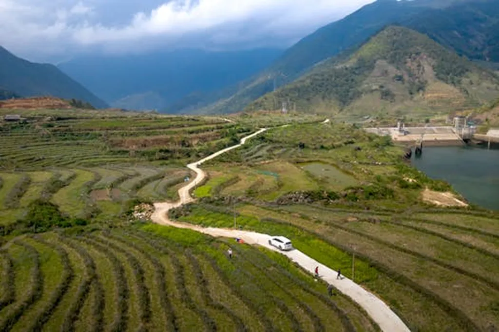
In the heart of China’s arid northwest, the Heihe River Basin (HRB) has long been a focal point for ecological research, balancing the delicate interplay between climate and human activity. A recent study published in *Remote Sensing* has shed new light on the vegetation dynamics of this critical region, offering insights that could reshape sustainable agricultural practices and water management strategies.
The research, led by Mengran Yu from the College of Geography and Remote Sensing Science at Xinjiang University, employed a sophisticated framework integrating four vegetation indices—NDVI, EVI, kNDVI, and NIRv—to assess changes in the HRB from 2004 to 2023. This multi-index approach, combined with trend and abrupt change detection analyses, provides a more nuanced understanding of vegetation dynamics than previous studies that relied on single indices.
“By using multiple vegetation indices, we were able to cross-validate our findings and gain a more comprehensive picture of the vegetation changes in the HRB,” Yu explained. The study revealed a fluctuating upward trend in vegetation cover, with significant improvement in 43% of the region and degradation in just 3%.
One of the most striking findings was the dominant role of non-climatic factors, particularly land use change, in driving vegetation dynamics. Climatic factors accounted for only 26% of the spatial variation, while non-climatic factors explained a substantial 74%. This underscores the profound impact of human activities, such as water management and land use policies, on the region’s ecology.
The interaction between land use change and elevation was particularly noteworthy, explaining 56% of the variation in the NIRv index. This highlights the complex interplay between natural and anthropogenic factors in shaping the landscape.
For the agriculture sector, these findings are profound. Effective water resource management and large-scale ecological restoration projects have been pivotal in facilitating vegetation recovery. This suggests that targeted interventions can significantly enhance agricultural productivity and sustainability in arid regions.
The study’s innovative use of the optimal parameter-based geographical detector (OPGD) to isolate and quantify the explanatory power of different factors sets a new standard for ecological assessments. This methodology could be applied to other arid and semi-arid regions, providing valuable insights for sustainable development and ecological management.
As the world grapples with the challenges of climate change and increasing demand for agricultural resources, the insights from this research are timely and relevant. By understanding the complex interactions between climate and human activities, we can develop more effective strategies for sustainable land use and water management.
Yu’s work not only advances our scientific understanding but also offers practical solutions for the agriculture sector. As we look to the future, the integration of multi-index approaches and advanced analytical tools will be crucial in shaping sustainable practices and ensuring the resilience of our ecosystems.
In a rapidly changing world, the lessons from the Heihe River Basin serve as a beacon for sustainable development, guiding us towards a more harmonious relationship with our environment.