In the ever-evolving landscape of precision agriculture, a recent study published in *Applied Sciences* has shed light on the potential of combining satellite and unmanned aerial vehicle (UAV) technologies to monitor super-intensive olive groves. The research, led by Esther Alfonso of the GESyP Research Group at the Universidad Politécnica de Madrid, offers a nuanced look at how these technologies can be harnessed to optimize agronomic management and support more sustainable farming practices.
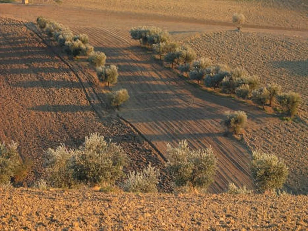
The study compared images acquired using the Altum PT sensor on UAVs and the Super Dove satellite to evaluate their ability to detect specific problems in super-intensive olive groves at two critical times: January, during pruning, and April, at the beginning of fruit development. Four different vegetation indices (VIs) were used to generate multispectral maps: the Normalized Difference Vegetation Index (NDVI), the Green Normalized Difference Vegetation Index (GNDVI), the Normalized Difference Red Edge Index (NDRE), and the Leaf Chlorophyll Index (LCI). Data for each plant (n = 11,104) were obtained for analysis across all dates and sensors.
The results showed significant differences between the sensors, with a common trend in spatial patterns and a correlation range between 0.45 and 0.68. The study employed a combined methodology, including Spearman’s correlation coefficient, Student’s t-test, and decision trees, to validate the behavior of the variables and propose predictive models.
“Integrating both technologies enables multiscale assessment, optimizing agronomic management and supporting more sustainable precision agriculture,” Alfonso said. This integration allows for a more comprehensive understanding of crop health, enabling farmers to identify issues such as diseases, pests, or water stress more accurately.
The commercial impacts of this research are substantial. By leveraging both UAV and satellite technologies, farmers can achieve a more detailed and timely assessment of their crops, leading to more informed decision-making. This can result in improved yield, reduced costs, and more sustainable farming practices. The ability to monitor crops at different scales and times provides a more holistic view of the grove’s health, allowing for targeted interventions that can prevent potential losses.
The study’s findings also open the door for future developments in precision agriculture. As technology continues to advance, the integration of multiple data sources and analytical methods will become increasingly important. This research sets a precedent for how these technologies can be combined to provide more accurate and actionable insights for farmers.
In the broader context, this study highlights the potential of Earth observation technologies to revolutionize the way we approach agriculture. By providing more detailed and timely information, these technologies can help farmers make more informed decisions, ultimately leading to more sustainable and productive farming practices. As the agriculture sector continues to evolve, the integration of these technologies will play a crucial role in shaping the future of farming.
The research, led by Esther Alfonso of the GESyP Research Group at the Universidad Politécnica de Madrid, was published in *Applied Sciences*, offering a significant contribution to the field of precision agriculture. The study’s findings provide a valuable framework for future research and practical applications, paving the way for more efficient and sustainable farming practices.