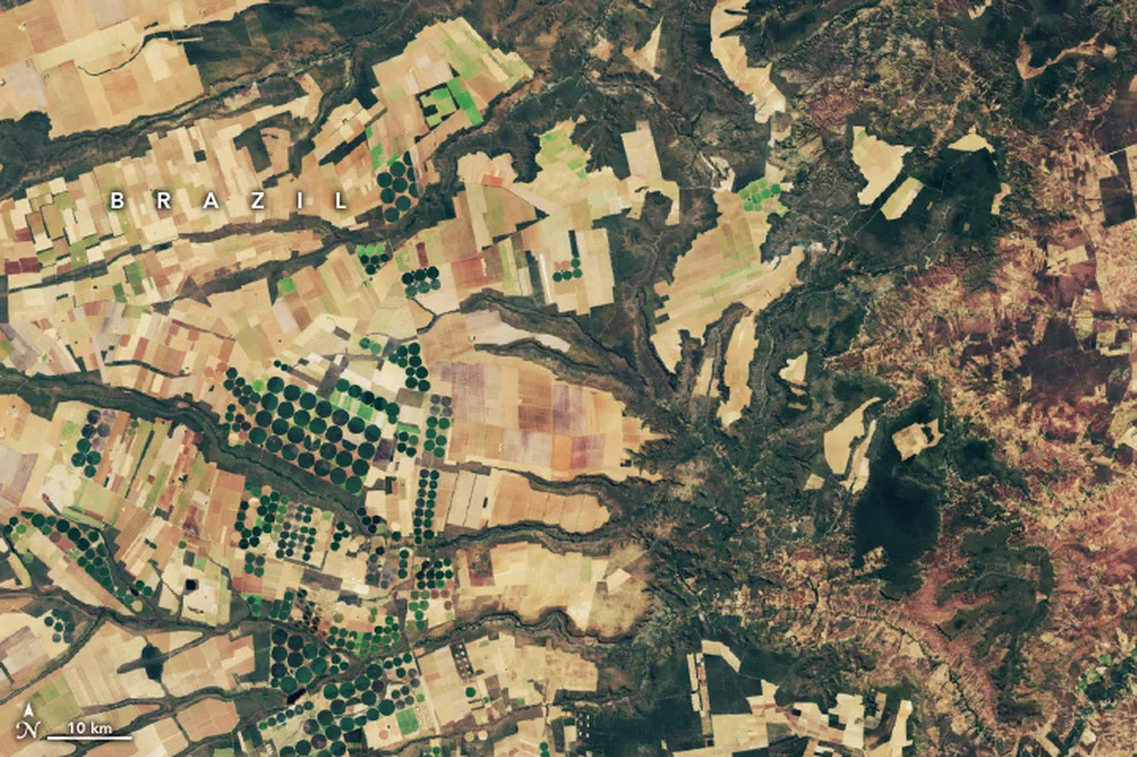
In the vast, windswept fields of Bornuur soum, Tuv province, Mongolia, a quiet revolution is taking place. Researchers are harnessing the power of satellite imagery to monitor the growth of spring wheat, a crop that sustains over 20% of the world’s population. This innovative approach, detailed in a recent study published in the Mongolian Geoscientist, could reshape how farmers and policymakers track and manage crop health, potentially boosting yields and food security.
The study, led by Sanjaatjamts Lkhagvadulam of the Disaster Studies Center at the University of Internal Affairs in Ulaanbaatar, focused on the Darkhan-144 wheat variety. Using Sentinel-1 and Sentinel-2 satellite data, the team tracked the crop’s growth dynamics from sowing to harvest. The wheat, planted between May 21–25, 2020, exhibited uniform germination within 15–20 days, followed by key phenophases such as heading, flowering, and milky seed stage, culminating in a total growth cycle of 85-90 days.
One of the most compelling findings was the strong correlation between the Normalized Difference Vegetation Index (NDVI) and the Normalized Difference Water Index (NDWI). “We found that NDVI showed a robust correlation with NDWI for both wet and dry biomass,” Lkhagvadulam explained. “This suggests that satellite-based indices can provide valuable insights into crop health and biomass estimation.”
The NDVI values rose from approximately 0.18 in early May to a peak of 0.80 by July and September, indicating healthy vegetative growth. Reflectance data from Sentinel-2 ranged from 0.05-0.40 in May and July, and 0.25-0.45 in June, while field spectrometer values increased from 0.35 in July to 0.60 nm in August before declining to 0.30 nm in September. These data points highlight the potential of remote sensing to offer real-time, spatiotemporal monitoring of crop health.
For the agriculture sector, the implications are profound. Accurate, timely monitoring of crop health can inform better decision-making, from irrigation scheduling to pest management. “This research supports the integration of remote sensing into Mongolia’s crop monitoring strategies,” Lkhagvadulam noted. “It provides a powerful tool for policymakers and farmers to enhance agricultural production and management.”
The study’s findings could pave the way for similar applications in other regions, particularly in areas where traditional monitoring methods are labor-intensive or costly. By leveraging satellite data, farmers can gain a more comprehensive understanding of their crops’ health, enabling them to respond swiftly to any issues that arise.
As the world grapples with the challenges of climate change and food security, this research offers a beacon of hope. It demonstrates how technology can be harnessed to support sustainable agriculture, ensuring that crops like spring wheat continue to thrive and feed the world’s growing population. With further advancements in remote sensing and data analysis, the future of agriculture looks increasingly promising.

