In the quest for sustainable agriculture, farmers and researchers are increasingly turning to technology to monitor and manage crop residues, a critical component in soil conservation. A recent study published in *The International Archives of the Photogrammetry, Remote Sensing and Spatial Information Sciences* sheds light on a promising method for quantifying crop residue cover using unmanned aerial vehicles (UAVs). The research, led by M. Änäkkälä from the Department of Agricultural Sciences at the University of Helsinki, explores the efficacy of UAV-based image analysis in assessing residue cover post-tillage, offering a scalable and cost-effective solution for the agriculture sector.
Crop residue, the leftover plant material after harvest, plays a pivotal role in sustainable farming practices. It acts as a natural barrier, reducing nutrient runoff and protecting topsoil from erosion. By anchoring the soil and obstructing surface flow, residue helps prevent the loss of fine particles, particularly during seasonal transitions. However, accurately measuring residue cover has been a challenge, until now.
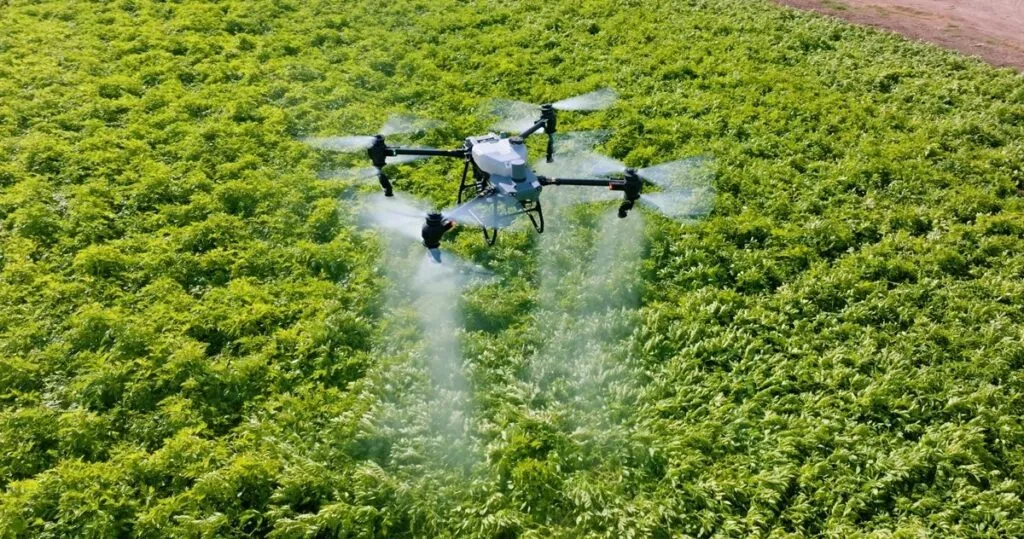
Änäkkälä and his team employed UAVs equipped with both RGB and multispectral cameras to capture aerial images of fields. The imagery was then analyzed to determine the extent of plant debris remaining on the field surface. The study found that RGB cameras were more compatible with the applied image analysis techniques, providing clear distinction between residue and soil with minimal impact from shadows. “The RGB imagery allowed us to clearly distinguish residue from soil, making it easier to quantify the cover accurately,” Änäkkälä noted.
In contrast, multispectral imagery posed greater challenges due to reduced contrast and increased sensitivity to shadow interference. Despite these hurdles, the research underscores the potential of UAV-based imaging as a reliable tool for residue mapping. The method offers high efficiency, cost-effectiveness, and superior resolution compared to traditional satellite imagery, making it particularly suitable for field-scale assessments.
The commercial implications of this research are significant. For farmers, the ability to accurately monitor residue cover can lead to better-informed decisions about tillage practices, ultimately enhancing soil health and crop yields. “This technology can help farmers optimize their practices, ensuring that they are using the right amount of residue to protect their soil without compromising future yields,” Änäkkälä explained.
Moreover, the scalability of UAV-based imaging means that it can be easily integrated into existing agricultural workflows. As the technology becomes more widespread, it could revolutionize how farmers approach soil conservation, leading to more sustainable and productive farming practices.
Looking ahead, this research paves the way for further advancements in agricultural technology. The use of UAVs for residue mapping is just the beginning. As imaging systems and analysis techniques continue to evolve, we can expect even more precise and efficient methods for monitoring soil health and conservation practices. This could include the integration of artificial intelligence and machine learning to automate the analysis process, further reducing the time and effort required for farmers to assess their fields.
In conclusion, the study by Änäkkälä and his team represents a significant step forward in the field of agricultural technology. By leveraging UAV-based imaging, farmers and researchers now have a powerful tool at their disposal for quantifying crop residue cover. This not only supports sustainable farming practices but also offers a glimpse into the future of precision agriculture. As the technology continues to advance, we can expect to see even greater innovations that will shape the future of farming.