In the heart of Algeria’s semi-arid region, a pressing issue threatens both communities and crops: the dwindling and deteriorating quality of groundwater. A recent study published in the *Journal of Engineering and Sustainable Development* sheds light on this critical problem, offering a nuanced approach to assessing water quality that could reshape how we address agricultural water use.
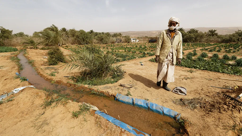
The research, led by Lakhdar Seraiche of the Laboratory of City, Environment, Hydraulics and Sustainable Development at Mohamed Boudiaf University, focuses on the area south of Chott Hodna. This region, like many others, faces severe challenges due to groundwater depletion and salinization. The study analyzed 45 well samples, employing a trio of water quality indices—arithmetic, entropy-weighted, and fuzzy logic-based—to paint a comprehensive picture of the groundwater’s condition.
Seraiche and his team found that 64.44% of the wells were classified as having poor water quality, primarily due to high concentrations of sulfate, chloride, calcium, and nitrate. These findings are alarming, especially for the agricultural sector, which relies heavily on groundwater for irrigation. “The high levels of these contaminants not only affect human consumption but also pose significant risks to crop yields and soil health,” Seraiche explained.
The study’s innovative use of fuzzy logic-based water quality indices (FWQI) proved particularly effective. Unlike traditional methods, FWQI reduces extreme classifications, providing a more accurate assessment of water quality. This precision is crucial for farmers and policymakers who need reliable data to make informed decisions.
Spatial analysis further revealed that the Maadher agricultural area had the poorest water quality, while the eastern and western ends of the region fared better. This geographical insight is invaluable for targeted interventions. “By identifying the areas most affected by poor water quality, we can prioritize efforts to mitigate contamination and improve water management practices,” Seraiche noted.
The research also highlighted the challenges of managing data variability and complex methodologies. However, the use of ordinary kriging with a spherical semivariogram model effectively identified key pollutants, including nitrate (NO₃⁻), chloride (Cl⁻), and electrical conductivity (EC), which were concentrated near wadis and agricultural areas.
The implications of this study extend beyond Algeria. As water scarcity and contamination become global concerns, the methodologies employed here could serve as a blueprint for other regions facing similar challenges. The integration of geochemical analysis, water quality indices, and GIS-based spatial analysis offers a robust framework for assessing and managing groundwater resources.
For the agriculture sector, this research underscores the need for sustainable water management practices. By understanding the sources and distribution of contaminants, farmers can adopt strategies to minimize water usage and reduce the risk of soil salinization. Policymakers, meanwhile, can use this data to develop regulations and incentives that promote water conservation and quality improvement.
As we look to the future, the study’s findings could shape the development of new technologies and policies aimed at safeguarding groundwater resources. The use of fuzzy logic and advanced spatial analysis techniques represents a significant step forward in the field of water quality assessment. By embracing these innovations, we can better address the challenges posed by water scarcity and ensure a more sustainable future for agriculture and communities alike.
The research was published in the *Journal of Engineering and Sustainable Development* and was led by Lakhdar Seraiche of the Laboratory of City, Environment, Hydraulics and Sustainable Development at Mohamed Boudiaf University.