In the heart of India’s tropical plateau, where water scarcity poses a significant challenge, a groundbreaking study has emerged, offering a beacon of hope for hydrologists and farmers alike. Published in *Discover Geoscience*, the research led by Vansika Yadav from the Department of Environmental Science at Indira Gandhi National Open University, sheds light on the intricate dynamics of rainfall, surface runoff, and river discharge in the Shilabati River Basin (SRB).
The Shilabati River Basin, spanning 3,500 square kilometers and receiving an average annual rainfall of 2,106 millimeters, has long been a mystery to hydrologists due to the scarcity of accurate runoff data. Yadav’s study aims to change that by employing the Soil Conservation Service-Curve Number (SCS-CN) method coupled with geospatial technology. This innovative approach allows for the estimation of surface runoff depth, volume, and discharge rate, which are crucial for efficient water resource management.
“Accurate runoff data is scarce in tropical plateaus, creating a significant challenge for hydrologists,” Yadav explains. “Our study aims to bridge this gap by providing a reliable method for estimating surface runoff, which is vital for the mobilization of flows in the Shilabati River Basin.”
The research categorizes the SRB into three hydrologic soil groups (HSGs): A (71%), B (18.2%), and C (10.8%). It also identifies six predominant categories of land use and five major slope classes within the basin. The findings reveal that the mean curve number (CN) under standard conditions is 80.12, while it measures 64.12 for dry conditions and rises to 89.98 for wet conditions. These CN values are critical for understanding the runoff potential of different areas within the basin.
Utilizing the SCS-CN method, the study determines that the runoff depth for the SRB ranges from 1,920.9 millimeters to 2,184.8 millimeters. The total runoff volumes vary between 172 cubic meters and 236 cubic meters, with flow rates fluctuating from 0.5 cubic meters per second to 179.1 cubic meters per second. The analysis highlights a strong positive correlation between rainfall and runoff, with an r value of 0.97.
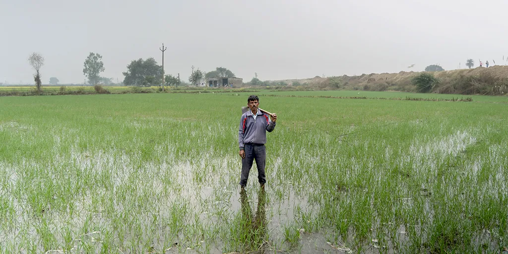
The implications of this research are profound, particularly for the agriculture sector. Accurate runoff data enables farmers to better manage water resources, ensuring optimal irrigation and minimizing water waste. This is especially crucial in regions like the Shilabati River Basin, where water scarcity is a pressing issue.
“Our findings emphasize the need for further exploration of the SCS-CN method when combined with remote sensing (RS) and geographic information systems (GIS) to effectively estimate runoff in ungauged basins,” Yadav notes. “This approach is crucial for promoting optimal water resource conservation and mitigating the risks associated with drought conditions.”
The study’s innovative use of geospatial technology and the SCS-CN method sets a new standard for hydrological research. It not only provides valuable insights into the water dynamics of the Shilabati River Basin but also offers a replicable model for other regions facing similar challenges. As climate change continues to impact global water resources, such research becomes increasingly vital for sustainable agriculture and water management.
In the quest for water security, Yadav’s research stands as a testament to the power of scientific innovation. By harnessing the potential of geospatial technology and the SCS-CN method, we can unlock the secrets of our water resources and pave the way for a more sustainable future.