In the heart of Kazakhstan, where the Irtysh River and its tributaries carve through the landscape, a pressing challenge unfolds each spring. As snow melts, floods swell, causing significant damage and leaving a vast potential for agricultural growth untapped. Yet, a recent study published in ‘The International Archives of the Photogrammetry, Remote Sensing and Spatial Information Sciences’ offers a beacon of hope, demonstrating how remote sensing technologies can transform water management and bolster agricultural productivity.
The research, led by Y. Grokhotov of Geosat LLP in Ust-Kamenogorsk, Kazakhstan, leverages satellite imagery from NOAA, TERRA, AQUA, Sentinel-1, and Sentinel-2 to analyze flood events from 2017 to 2022. By constructing a digital terrain model (DTM), Grokhotov and his team delineated watershed areas, revealing that spring snowmelt primarily affects regions like Abai, Ayagoz, and Zaysan, with a potential inundation area of up to 468.9 km².
The implications for agriculture are profound. “By creating reserve reservoirs to manage surface runoff and drainage from temporarily flooded areas, we can minimize flood damage and make effective use of meltwater,” Grokhotov explains. The study identifies 12 potential sites for such reservoirs, offering a dual benefit: reducing flood risks and improving water availability for agriculture during dry periods.
This innovative approach not only addresses immediate challenges but also paves the way for sustainable water management in a changing climate. As Grokhotov notes, “The use of modern technologies can significantly improve water resource forecasting and management, contributing to food security and sustainable natural resource use.”
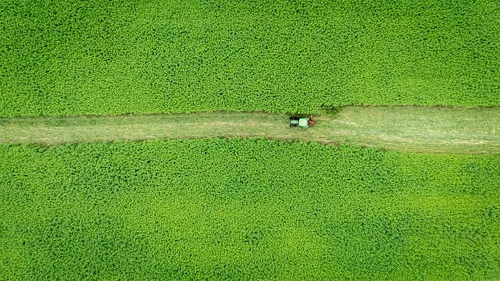
The commercial impacts for the agriculture sector are substantial. Farmers in Eastern Kazakhstan could see improved water availability, leading to enhanced crop yields and more resilient farming practices. The creation of reserve reservoirs could also open up new opportunities for irrigation, expanding the region’s agricultural potential.
Moreover, this research underscores the broader potential of remote sensing technologies in water management. As climate change continues to alter precipitation patterns and increase the frequency of extreme weather events, the ability to predict and manage water resources will become increasingly critical. By harnessing the power of satellite imagery and digital terrain modeling, regions around the world can better adapt to these challenges and secure their water futures.
In the words of Grokhotov, “This strategy not only reduces flood risks but also improves the availability of water resources for agriculture during dry periods.” The study’s findings offer a blueprint for other water-stressed regions, demonstrating how innovative technologies can drive sustainable development and food security.
As the world grapples with the growing threat of water insecurity, this research serves as a testament to the power of technology and innovation in addressing one of the most pressing challenges of our time. By embracing these advancements, the agriculture sector can not only mitigate risks but also unlock new opportunities for growth and sustainability.