In the heart of Mid-Wales, a pioneering project is transforming how we monitor and manage water quality, with significant implications for the agriculture sector. The Ystwyth River, a vital waterway, is now the testing ground for an innovative multi-sensing technology approach that promises to revolutionize environmental surveillance and decision-making.
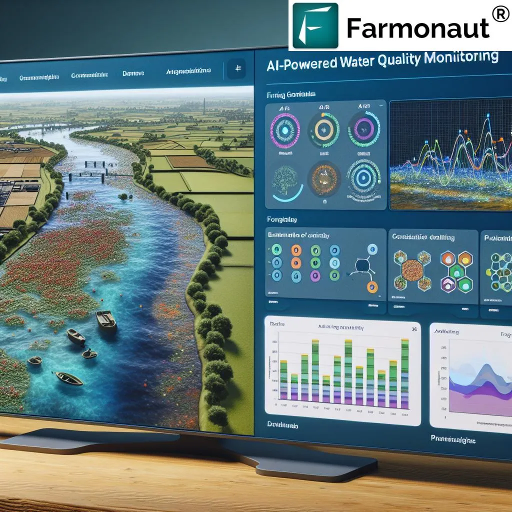
At the core of this initiative is an interactive web and mobile application, developed by a team led by Edore Akpokodje from the Department of Computer Science at Aberystwyth University. The platform, built using the Mapbox framework, offers stakeholders—including farmers, environmental agencies, and the public—a real-time window into the river’s health. Users can click on map markers to access sensor readings for key water quality parameters such as pH, electrical conductivity (EC), temperature, dissolved oxygen (DO), total dissolved solids (TDS), and nutrient levels like nitrate (NO₃).
“This technology is a game-changer,” says Akpokodje. “It combines in situ sensor technology with a user-friendly mobile app, enabling stakeholders to visualize the impact of land management practices and make informed decisions.” The system aims to enhance environmental surveillance, increase transparency, and promote sustainable agricultural practices by providing critical water quality information in an accessible format.
For the agriculture sector, the implications are profound. Farmers can use this real-time data to monitor the impact of their practices on water quality, allowing them to adjust and optimize their methods to minimize pollution and enhance sustainability. “By understanding the direct effects of their actions, farmers can make more informed decisions that benefit both their operations and the environment,” Akpokodje explains.
The project, detailed in a study published in the journal ‘Sensors’, focuses on the feasibility of this integrated approach. Future developments will explore the integration of artificial intelligence (AI) for predictive modeling and satellite data for broader spatial coverage. These advancements could scale up the system to other catchments, improving proactive water quality management and supporting more sustainable agricultural practices.
“This is just the beginning,” Akpokodje notes. “The potential for AI and satellite data integration is immense. It could allow us to predict water quality trends, identify potential pollution sources, and take proactive measures to protect our waterways.”
As the agriculture sector faces increasing pressure to adopt sustainable practices, this innovative approach to water quality monitoring offers a promising solution. By providing real-time, accessible data, it empowers stakeholders to make informed decisions that benefit both their operations and the environment. The future of water quality management is here, and it’s looking brighter than ever.