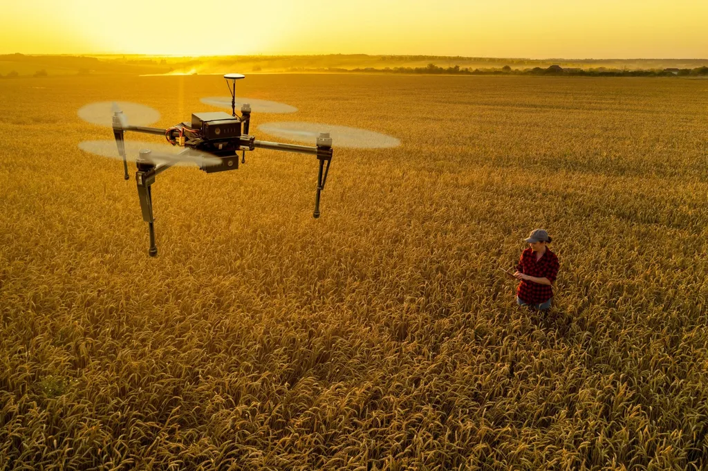
In the heart of the North China Plain, a groundbreaking study is transforming how farmers monitor and manage water usage in winter wheat fields. By harnessing the power of unmanned aerial vehicles (UAVs) and advanced machine learning models, researchers have developed a precise and efficient method for assessing crop water status, a critical factor in optimizing irrigation strategies.
The study, led by Bingyan Dong from the Institute of Quantitative Remote Sensing & Smart Agriculture at Henan Polytechnic University, utilized UAV technology to capture high-resolution images of winter wheat fields. The team calculated thirteen vegetation indices from these images and analyzed their correlations with observed crop water content (CWC) and equivalent water thickness (EWT). Among these indices, the ratio vegetation index (RVI, NIR/R) emerged as the strongest correlate with CWC, boasting an impressive correlation coefficient of 0.97 during critical growth stages.
The researchers then evaluated four machine learning models—random forest (RF), decision tree (DT), LightGBM, and CatBoost—to predict CWC and EWT. CatBoost, a gradient boosting algorithm known for its handling of categorical features, outperformed the other models. “CatBoost demonstrated superior performance, achieving R² values of 0.992 for CWC and 0.962 for EWT in training datasets,” Dong explained. The model’s robustness was further validated with high R² values in testing datasets, underscoring its potential for real-world applications.
The implications for the agriculture sector are profound. Precision agriculture, which aims to optimize field-level management with the assistance of remote sensing and information technologies, stands to benefit significantly from this research. High-resolution inversion maps generated by the CatBoost-RVI framework successfully identified spatial variability in crop water status across experimental plots. This level of detail enables farmers to tailor irrigation strategies to specific areas within a field, potentially leading to substantial water savings and improved crop yields.
The study, published in the journal Applied Sciences, highlights the potential of integrating advanced machine learning models with remote sensing technology. As Dong noted, “The CatBoost-RVI framework proved particularly effective during the booting and flowering stages, providing reliable references for precision irrigation management.” This research not only advances our understanding of crop water status monitoring but also paves the way for more sustainable and efficient agricultural practices.
Looking ahead, the successful application of CatBoost in this study could inspire further exploration of machine learning models in agriculture. As the technology continues to evolve, we can expect to see even more sophisticated tools for monitoring and managing crop health, ultimately contributing to a more resilient and productive agricultural sector.