In the heart of Ethiopia, where the Blue Nile carves its path through ancient landscapes, a silent sentinel orbits overhead, monitoring the pulse of the nation’s water resources. This sentinel is not a mythical guardian, but a sophisticated satellite system known as GRACE and its successor, GRACE-FO. A recent study published in *Scientific African* and led by Natnael Agegnehu Ayele from the Department of Geodesy and Geodynamics at the Space Science & Geospatial Institute in Addis Ababa, has harnessed data from these satellites to reveal the intricate dance of water storage across Ethiopia, offering crucial insights for agriculture and water management.
The study, which compares GRACE satellite data with traditional water balance methods, paints a vivid picture of Ethiopia’s hydrological health. “We found substantial spatial variability in water storage,” Ayele explains. “Western Ethiopia is seeing significant increases in terrestrial water storage, while the eastern regions are experiencing notable decreases, indicating potential drought conditions.” This variability is not just a geographical curiosity; it’s a critical factor for farmers and policymakers grappling with the realities of climate change.
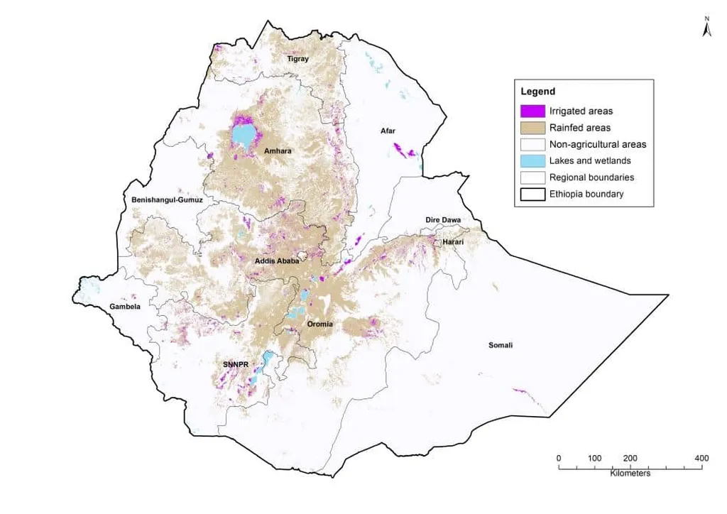
For the agriculture sector, the implications are profound. Water is the lifeblood of farming, and understanding its distribution and fluctuations can mean the difference between bounty and scarcity. The study’s findings suggest that satellite-based monitoring could become an invaluable tool for predicting droughts and managing water resources more effectively. “Accurate monitoring of water storage is crucial for mitigating the effects of climate change on agriculture and water security,” Ayele emphasizes.
The research also highlights the potential of satellite data to complement and enhance traditional monitoring methods. By comparing GRACE-derived data with in-situ well measurements, the study found a moderate correlation, suggesting that satellites can indeed capture regional groundwater fluctuations with reasonable accuracy. This synergy between old and new technologies could pave the way for more resilient and sustainable water management strategies.
Looking ahead, the study’s findings could shape future developments in the field of water resource management. As climate change continues to exacerbate water scarcity and drought conditions, the need for accurate, real-time monitoring will only grow. Satellite-based systems like GRACE and GRACE-FO offer a promising solution, providing a bird’s-eye view of water storage that is both comprehensive and detailed.
For the agriculture sector, this means better tools for planning and adaptation. Farmers can use this data to make informed decisions about crop selection, irrigation, and water usage, ultimately enhancing productivity and sustainability. Policymakers, too, can leverage this information to develop more effective water management policies, ensuring that this vital resource is allocated fairly and efficiently.
In the end, the study is a testament to the power of technology to illuminate the complex interplay of water and land. As we face the challenges of a changing climate, such insights will be invaluable, guiding us towards a future where water is managed wisely and sustainably. And in the heart of Ethiopia, the silent sentinel continues its watch, a beacon of hope in an uncertain world.