In the heart of Karnataka, India, a groundbreaking study is reshaping our understanding of land use dynamics and their profound implications for soil health and agricultural sustainability. Published in *Discover Geoscience*, the research led by T. V. Ramachandra of the Energy & Wetlands Research Group at the Indian Institute of Science, delves into the intricate linkages between soil environmental health and landscape structure in Raichur district, offering critical insights for the agrarian sector.
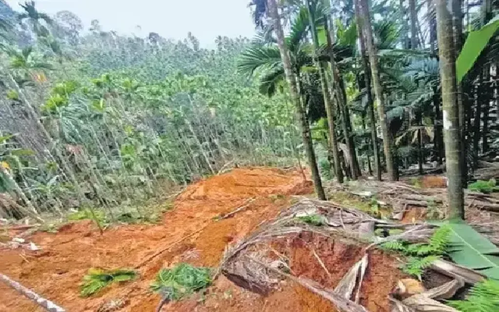
Raichur, an agrarian district, has witnessed significant land use changes over the past five decades, with paddy cultivation expanding from a mere 0.74% in 1973 to a substantial 18.41% in 2024. This transformation, driven by the expansion of water bodies due to the Krishna and Tungabhadra Rivers, has not only altered the landscape but also raised pressing concerns about soil health. The study reveals a decline in soil nutrients, a trend that could have far-reaching consequences for agricultural productivity and sustainability.
The research employs advanced techniques such as supervised machine learning through Random Forest (RF) in the Google Earth Engine platform, enabling efficient processing and analysis of vast amounts of satellite imagery and geospatial datasets. “The integration of these technologies allows us to assess land use changes with unprecedented accuracy and detail,” explains Ramachandra. This precision is crucial for identifying natural resources-rich regions (NRRRs) and formulating effective policies for their management.
The study’s projections, using Cellular Automata modeling, paint a stark picture of the future. By 2038, the area under agriculture is expected to decrease to 1159.33 sq. km, while there will be a significant increase in road networks and industrial areas. These changes underscore the need for prudent management of natural resources to achieve sustainable development goals, particularly SDGs 1, 2, 6, 11, 12, 13, and 15.
The identification of 15% of the district’s geographical area as rich in natural resources (NRRR 1 and 2) highlights the critical need for sustainable practices. “Understanding these dynamics is essential for developing strategies that balance agricultural expansion with environmental conservation,” says Ramachandra. This balance is crucial for the agrarian sector, which forms the backbone of the local economy.
The study’s findings have significant commercial implications for the agriculture sector. By providing a detailed analysis of land use changes and their impact on soil health, the research offers valuable insights for farmers, policymakers, and agricultural businesses. It underscores the importance of adopting sustainable practices to ensure long-term productivity and profitability.
Moreover, the integration of advanced technologies like Google Earth Engine and Random Forest modeling sets a new standard for land use analysis. This approach can be replicated in other regions, providing a blueprint for sustainable land management and resource conservation.
As we look to the future, this research shapes the trajectory of agricultural and environmental science. It emphasizes the need for interdisciplinary approaches that consider social, hydrological, ecological, and bio-geo-climatic factors. By doing so, it paves the way for innovative solutions that can drive sustainable development and ensure food security for future generations.
In the rapidly evolving field of agritech, this study serves as a beacon, guiding us towards a future where technology and sustainability go hand in hand. As Ramachandra aptly puts it, “The key to sustainable agriculture lies in understanding and managing our natural resources wisely.” This research is a significant step in that direction, offering hope and guidance for a sustainable future.