In the heart of Colombia’s eastern Antioquia region, the Río Negro Basin is undergoing a dramatic transformation. Rapid urban expansion, agricultural intensification, and deforestation are reshaping the landscape, with profound implications for the region’s water resources. A recent study published in *Hydrology* sheds light on how these changes, coupled with climate change, are altering streamflow dynamics, with significant commercial impacts for the agriculture sector.
The research, led by Blanca A. Botero of the Research Group GICI at the Universidad de Medellín, integrates advanced satellite image processing, AI-based land cover modeling, climate change projections, and distributed hydrological simulation to assess future streamflow responses. The study highlights the critical need for sustainable water management in tropical mountainous regions, where hydrological regimes are particularly sensitive to environmental changes.
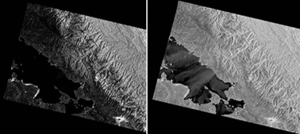
Using multi-sensor satellite data from Landsat, Sentinel-1, Sentinel-2, and ALOS, the research team generated high-resolution land cover maps and scenarios for the year 2060. These scenarios—optimistic, trend, and pessimistic—were developed with strict area constraints for urban growth and forest conservation. “The integration of these advanced technologies allows us to model future land cover changes with unprecedented accuracy,” Botero explains. “This is crucial for understanding how these changes will impact water availability and agricultural productivity.”
Future precipitation data were derived from the MPI-ESM CMIP6 outputs under different shared socioeconomic pathways (SSP2-4.5, SSP3-7.0, SSP5-8.5) and statistically downscaled using Empirical Quantile Mapping (EQM) to match the basin scale and historical precipitation records from Colombia’s IDEAM. The TETIS hydrological model was then calibrated and validated using observed streamflow records from 1998 to 2023 to simulate hydrological responses under combined land cover and climate scenarios.
The findings are stark: urban expansion and forest loss significantly increase peak flows and flood risk while decreasing baseflows, compromising water availability during dry seasons. “This is a critical issue for the agriculture sector,” notes Botero. “Farmers rely on consistent water availability to sustain their crops, and these changes could lead to significant economic losses if not properly managed.”
Conversely, the study also shows that conservation-oriented scenarios can mitigate these effects by enhancing flow regulation and groundwater recharge. “Targeted land management can partially offset the negative impacts of climate change,” Botero emphasizes. “This underscores the importance of integrated land–water planning in the Andes and other mountainous regions.”
The research provides a replicable framework for modeling hydrological futures in data-scarce mountainous basins, offering actionable insights for regional authorities, environmental agencies, and national institutions responsible for water security and disaster risk management. As the agriculture sector faces increasing pressures from climate change and land use changes, this study highlights the need for proactive strategies to ensure water availability and agricultural sustainability.
For the agriculture sector, the implications are clear: understanding and adapting to these changes is not just about mitigating risks but also about seizing opportunities. By integrating advanced technologies and sustainable practices, farmers and policymakers can work together to ensure a resilient and productive future for the region. As Botero concludes, “This work is a step towards a more sustainable and water-secure future, not just for Colombia but for similar regions around the world.”