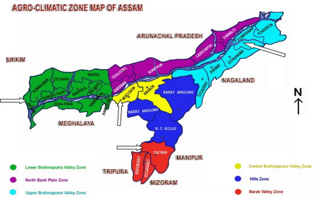
In the flood-prone district of Dhubri, Assam, a recent study has shed light on the spatial and temporal dynamics of flood inundation, offering crucial insights for the agricultural sector. Published in the *International Journal of Bio-Resource and Stress Management*, the research led by Mrinal Choudhury from the Department of Soil Science at SCS College of Agriculture, AAU, Chapar, Dhubri, leverages Remote Sensing (RS) and Geographic Information Systems (GIS) to assess the impact of floods on agricultural lands from 2020 to 2024.
The study utilized Sentinel-1A satellite data with a 10-meter spatial resolution to map flood-affected areas across various blocks in Dhubri district. The findings reveal significant variability in flood inundation, with some areas experiencing a dramatic increase in flooded cropland. “Birsing Jarua block, for instance, saw a two and a half times rise in cropland inundation, from 19.24% in 2022 to 49.12% in 2024,” Choudhury noted. This stark increase underscores the urgent need for targeted mitigation strategies in high-risk zones.
The commercial implications for the agriculture sector are profound. Flooding not only damages crops but also disrupts supply chains and reduces marketable yields, leading to substantial economic losses. The study highlights that blocks like Nayeralga, Mahamaya, and Chapor-Salkocha are also highly vulnerable, requiring immediate attention to safeguard agricultural productivity. Conversely, blocks such as Rupshi, Bilasipara, and Golaganj have shown a decline in flood extents, suggesting that localized strategies could be effective in mitigating flood impacts.
The research emphasizes the importance of block-level integrated contingency plans to mitigate future agricultural damage. By identifying high-risk zones and implementing targeted interventions, stakeholders can better prepare for flood events, thereby minimizing economic losses and ensuring food security. “This study provides a robust framework for understanding flood dynamics and can guide policymakers and farmers in developing resilient agricultural practices,” Choudhury added.
The findings from this study could shape future developments in the field by promoting the use of RS and GIS technologies for real-time monitoring and predictive modeling of flood risks. As climate change continues to exacerbate natural disasters, such tools will be indispensable for sustainable agricultural planning and disaster management. By integrating these technologies into agricultural practices, stakeholders can enhance resilience and adaptability in the face of an increasingly unpredictable climate.
In summary, this research not only highlights the critical need for localized flood mitigation strategies but also paves the way for innovative approaches to agricultural resilience. As the agricultural sector grapples with the challenges posed by climate change, studies like these offer valuable insights and practical solutions to protect livelihoods and ensure food security.

