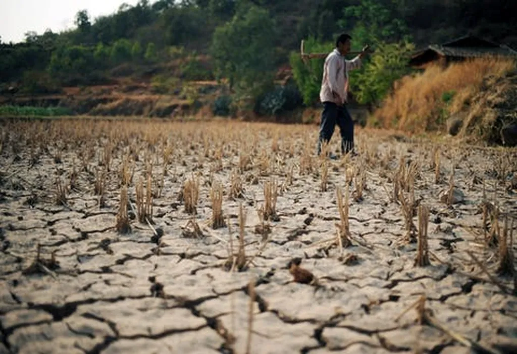
In the vast, data-scarce landscapes of Australia’s Northern Territory, a new study is making waves in the world of soil moisture modeling, offering promising insights for the agriculture sector. Researchers have successfully leveraged limited in situ soil moisture measurements to develop a robust numerical model, HYDRUS-1D, which could revolutionize long-term soil moisture estimation in the region.
The study, published in *Remote Sensing*, is led by Muhammad Usman from the Faculty of Science, Engineering and Built Environment at Deakin University. Usman and his team tackled the challenge of limited soil moisture data head-on, utilizing short-term measurements to calibrate and validate their model. “Long-term monitoring of soil moisture is generally not practical,” Usman explains, “but our study shows that even limited data can be employed to develop accurate, long-term soil moisture estimations.”
The HYDRUS-1D model, based on the numerical solution of Richards’ equation, relies on soil water retention characteristics. The team optimized the van Genuchten model parameters against measured soil moisture, conducting a comprehensive uncertainty analysis to address potential calibration uncertainties. The model’s performance was impressive, with high correlation coefficients and low root mean square errors during both calibration and validation periods.
One of the key inputs to the model is precipitation data, which is often not easily accessible at a finer spatial resolution. To overcome this, the researchers turned to remotely sensed precipitation data from CHRS-PERSIANN, CHRS-CCS, and CHRS-PDIR-Now. While these products underestimated soil moisture, CHRS-CCS emerged as the top performer, offering the best overall efficiency.
The implications for the agriculture sector are significant. Accurate soil moisture estimation is crucial for understanding hydrological, agricultural, and environmental processes. With this new model, farmers and agricultural businesses in the Northern Territory can make more informed decisions about irrigation, crop selection, and water management. “This integrated approach based on numerical modeling and remote sensing can help understand the long-term dynamics of soil moisture and soil water balance,” Usman notes, highlighting the potential for improved agricultural practices and increased productivity.
Looking ahead, this research could shape future developments in the field by demonstrating the value of limited data and the potential of remote sensing in soil moisture estimation. As technology advances and data becomes more accessible, these models could become even more accurate and widely applicable, benefiting not just the Northern Territory, but agricultural regions around the world.