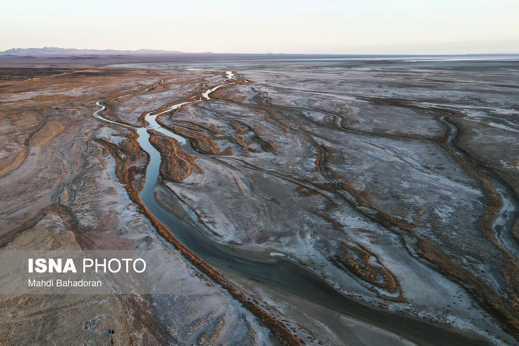
In the heart of Iran’s Gavkhoni Basin, a silent crisis is unfolding. Water scarcity, once a distant concern, has become an urgent reality, threatening the region’s agricultural livelihoods and ecological balance. A groundbreaking study published in *Sustainable Futures* offers a stark warning and a potential path forward, leveraging advanced modeling techniques and satellite imagery to unravel the complex dynamics at play.
The research, led by Asiyeh Abdollahi of the Department of Remote Sensing and GIS at the Science and Research Branch of Islamic Azad University in Tehran, employs a spatially explicit Cellular Automata (CA) model to analyze drought-related transformations from 2010 to 2020 and project conditions through 2030. By integrating Landsat 7 and 8 imagery, the study derives three critical remote sensing indices—the Normalized Difference Vegetation Index (NDVI), Normalized Difference Water Index (NDWI), and Normalized Difference Built-up Index (NDBI)—to monitor vegetation health, surface water availability, and urban expansion at an unprecedented 30-meter resolution.
The findings are sobering. “We project a 54% decline in surface water and a 53% reduction in vegetation cover by 2030,” Abdollahi explains. “This is primarily driven by unsustainable agricultural practices and urban sprawl.” The expansion of built-up areas, particularly around Isfahan, is coinciding with ecological degradation in the basin’s eastern zones, creating a vicious cycle of drought and land-use change.
For the agriculture sector, the implications are profound. The Gavkhoni Basin is a vital agricultural region, and the projected water scarcity could have significant commercial impacts. Farmers may face reduced yields, increased costs, and the need to adapt to more water-efficient practices. The study’s detailed projections offer a crucial tool for planning and mitigation, providing actionable insights for land-use planning, water policy reform, and sustainable development.
The research employed three modeling scenarios, each with distinct transition rules and calibration strategies. Scenario 3, based on expert-informed rules and refined parameter tuning, yielded the lowest RMSE values (NDVI: 0.041, NDWI: 0.041, NDBI: 0.075) and was selected for projection. This scenario’s success highlights the importance of integrating local expertise and precise data in modeling efforts.
Looking ahead, the study’s methodology could shape future developments in the field. The integration of Cellular Automata models with high-resolution satellite imagery offers a powerful approach to understanding and predicting land-use changes and water scarcity. As Abdollahi notes, “This research underscores the dominant role of anthropogenic pressures intensifying regional drought and offers actionable insights for sustainable development in arid regions.”
The study’s findings serve as a clarion call for immediate action. By leveraging advanced modeling techniques and satellite imagery, stakeholders can make informed decisions to mitigate the impacts of water scarcity and ensure the long-term sustainability of the Gavkhoni Basin’s agricultural sector. As the region grapples with the challenges of drought and land-use change, this research provides a crucial roadmap for a more sustainable future.