In an era where climate change mitigation is paramount, the ability to monitor and manage methane emissions has become a critical focus across industries. A recent review published in *Remote Sensing* offers a comprehensive look at how satellite-based remote sensing is revolutionizing methane emission monitoring, with significant implications for the agriculture sector and beyond. Led by Seyed Mostafa Mehrdad of the Department of Mechanical and Manufacturing Engineering at the University of Calgary, the study provides an integrated assessment of recent advancements in satellite technology, retrieval techniques, and sector-specific applications.
Methane, a potent greenhouse gas, is emitted from various sources, including oil and gas operations, coal mining, agriculture, and waste management. Traditional methods of monitoring these emissions have often been limited in scope and accuracy. However, satellite-based remote sensing is changing the game by offering a more comprehensive and precise approach to detecting and quantifying methane emissions across spatial and temporal scales.
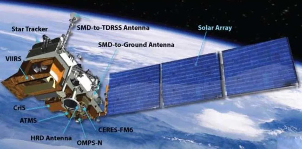
The review distinguishes between two types of satellite instruments: area flux mappers and point-source imagers. Area flux mappers provide a broad overview of methane emissions over large regions, while point-source imagers focus on identifying specific emission sources. The study examines both established and recent satellite missions, including GHGSat, MethaneSAT, and PRISMA, highlighting their unique capabilities and contributions to methane monitoring.
One of the key aspects of the review is its critical comparison of retrieval methods used to process satellite data. These methods range from full-physics models and CO2 proxy approaches to optimal estimation and emerging data-driven techniques like machine learning. “The integration of machine learning algorithms has the potential to significantly enhance the accuracy and efficiency of methane emission monitoring,” notes Mehrdad. This technological evolution is not just about improving data quality but also about making the information more accessible and actionable for stakeholders.
For the agriculture sector, the implications are substantial. Agriculture is a major contributor to methane emissions, primarily through livestock digestion and manure management. Satellite-based monitoring can help farmers and agribusinesses identify emission hotspots, implement targeted mitigation strategies, and comply with regulatory requirements. “By leveraging satellite data, the agriculture industry can make more informed decisions that balance productivity with environmental sustainability,” explains Mehrdad.
The review also discusses how satellite data are applied in emission estimation and mitigation contexts. For instance, in the oil and gas sector, satellite monitoring can detect fugitive emissions from pipelines and storage facilities, enabling timely repairs and reducing methane leaks. Similarly, in waste management, satellite data can help identify landfills with high methane emissions, allowing for better management practices.
Despite the advancements, the review identifies several technical and operational challenges that need to be addressed. These include improving the spatial and temporal resolution of satellite data, enhancing the accuracy of retrieval methods, and ensuring the accessibility of data to all stakeholders. “While the progress has been remarkable, there is still a need for continued research and development to overcome these challenges,” says Mehrdad.
Looking ahead, the study outlines research directions to enhance the accuracy, accessibility, and policy relevance of satellite-based methane monitoring. This includes the development of new satellite missions with advanced capabilities, the integration of multi-source data for comprehensive emission assessments, and the creation of user-friendly platforms for data dissemination.
As the world grapples with the urgent need to reduce greenhouse gas emissions, satellite-based methane monitoring offers a powerful tool for industries to track and mitigate their environmental impact. For the agriculture sector, this technology presents an opportunity to adopt more sustainable practices while maintaining productivity. The review by Mehrdad and his team not only highlights the current state of satellite-based methane monitoring but also paves the way for future developments that could shape the future of environmental management.

