In the heart of India’s agricultural landscape, a groundbreaking study is reshaping how farmers and agribusinesses predict wheat yields, offering a powerful tool for strategic planning and market decisions. Researchers have successfully developed a model that estimates wheat yields at the farm scale using satellite imagery, a development that could significantly impact food security and trade planning.
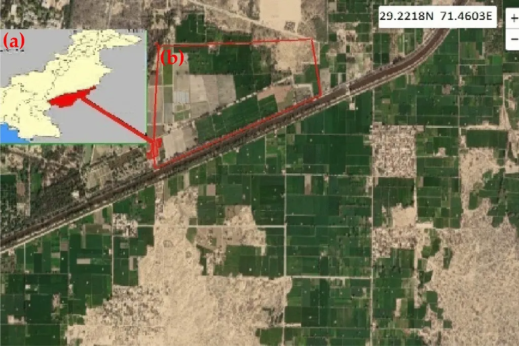
The study, published in the *Journal of Agrometeorology*, focused on Badsu village in Alwar district, Rajasthan, and utilized multi-temporal vegetation indices derived from Sentinel-2 MSI imagery for the rabi seasons of 2018–19 and 2019–20. The research, led by Sudesh Singh Choudhary from the Department of Civil Engineering at Malaviya National Institute of Technology Jaipur and the National Institute of Hydrology, Roorkee, aimed to overcome the challenges of predicting crop production at a granular level.
“Accurate yield estimation is crucial for food security, market strategies, trade planning, and storage decisions,” Choudhary explained. “Our research demonstrates that remote sensing indices can be effectively used to predict wheat yields at the field level, even in diverse agricultural conditions.”
The study processed cloud-free Sentinel-2 images spanning the wheat growth cycle to generate multiple vegetation indices, grouped into greenness, chlorophyll content, and dryness indicators. Spearman’s rank correlation assessed the relationships between these indices and wheat yield across various phenological stages and their combinations. Linear and multiple linear regression (MLR) models were then developed using the most significant indices.
The findings revealed that the Wide Dynamic Range Vegetation Index (WDRVI), Normalized Green-Red Difference Index (NGRDI), and Normalized Difference Water Index-2 (NDWI2) exhibited strong correlations with yield, except during harvesting and crown root initiation. The best-performing model achieved an RMSE of 0.47 tons/ha and an R² of 0.74, highlighting the potential of remote sensing for precise yield estimation.
“This research opens up new possibilities for farmers and agribusinesses to make data-driven decisions,” said Choudhary. “By leveraging satellite imagery, they can better plan for market strategies, storage, and trade, ultimately enhancing food security and economic stability.”
The commercial impacts of this research are substantial. Accurate yield predictions can help farmers optimize their resources, reduce waste, and maximize profits. Agribusinesses can use this information to plan their supply chains more effectively, ensuring that they have the right products in the right places at the right times. Additionally, policymakers can use this data to make informed decisions about food security and trade policies.
As the agriculture sector continues to evolve, the integration of remote sensing technology into yield estimation practices is expected to become more prevalent. This research paves the way for future developments in precision agriculture, offering a scalable and cost-effective solution for farmers and agribusinesses worldwide.
In a rapidly changing agricultural landscape, the ability to predict yields with precision is more important than ever. This study not only advances our understanding of remote sensing applications in agriculture but also provides a practical tool for enhancing food security and economic stability. As the world grapples with the challenges of climate change and population growth, innovations like these will be crucial in ensuring a sustainable and secure food future.