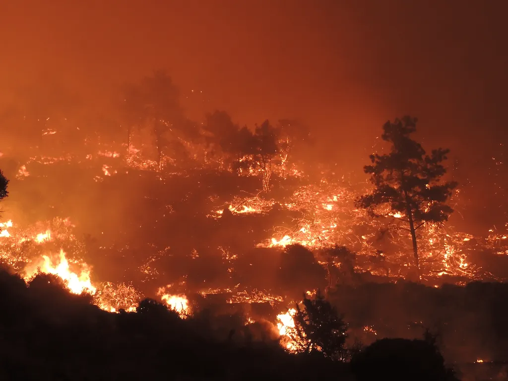
In a significant stride towards enhancing wildland fire management in Greece, researchers have created a comprehensive dataset using stochastic wildfire simulations. This dataset, published in *Data in Brief*, offers invaluable insights into fire behavior, intensity, and spread, providing a robust tool for prevention and suppression strategies.
The study, led by Palaiologos Palaiologou from the Agricultural University of Athens, leverages the FSim simulator, a tool widely used in the United States for fire behavior modeling. FSim generates fire perimeters, ignition locations, fire intensity, and burn probability data, which are crucial for various applications, from community protection planning to wildfire risk assessments by the reinsurance industry.
“Until now, Europe lacked the essential model input data at an adequate spatial resolution,” explains Palaiologos Palaiologou. “Our work fills that gap by producing the necessary input dataset at a pan-European level, enabling the first large-scale nationwide stochastic fire behavior modeling application for Greece.”
The research involved dividing Greece into 23 Pyromes—regions with similar vegetation, climate, and fire behavior—and summarizing weather patterns using hourly data from the ERA5-Land reanalysis dataset. Ignition locations were distributed across each Pyrome using an ignition probability grid, ensuring comprehensive coverage of potential fire scenarios.
The resulting dataset includes burn probability and conditional flame length rasters at a 100-meter spatial resolution, along with 3.65 million fire perimeters and ignition locations in vector format. Additionally, the study provides modified fuel models and ignition probability rasters, which are not available in other repositories.
This dataset offers a valuable resource for fire management and civil protection agencies, enabling them to understand the fire size potential of each area and the expected burning intensity. “Metanalyses of fire perimeters intersecting with settlement boundary polygons can provide exposure profiles to inform fuel treatment and community protection plans,” notes Palaiologos Palaiologou. “Risk profiles may also be produced by linking exposure with expected fire intensity, even at the building level, providing useful datasets for insurance purposes and spatial planning.”
The commercial impacts for the agriculture sector are substantial. Accurate fire behavior modeling can help farmers and land managers implement targeted fuel treatments and develop effective fire management strategies, reducing the risk of devastating wildfires. This, in turn, can enhance crop resilience, protect agricultural infrastructure, and ensure food security.
The methods and datasets produced in this work can be replicated for every continental EU country, paving the way for a more comprehensive and integrated approach to wildland fire management across Europe. As Palaiologos Palaiologou emphasizes, “The data provided in this article offers a valuable resource for fire management and civil protection agencies, enabling them to understand the fire size potential of each area and the expected burning intensity.”
This research not only advances our understanding of wildfire behavior but also sets the stage for future developments in fire management and spatial planning. By providing a robust dataset and innovative methodologies, it empowers stakeholders to make informed decisions, ultimately safeguarding lives, livelihoods, and the environment.
The article is published in *Data in Brief*, with Palaiologos Palaiologou from the Agricultural University of Athens serving as the lead author.