In the rugged highlands of Ethiopia, where steep slopes and intensive agriculture collide, soil erosion is a relentless force of environmental degradation. A recent study published in *Scientific Reports* offers a groundbreaking approach to mapping and mitigating this critical issue, with significant implications for the agriculture sector. Led by Zhao Peng of Shijiazhuang Zhongnong Xingtai Biotechnology Co., Ltd., the research employs a spatially adaptive modeling technique that could revolutionize how farmers and policymakers tackle erosion.
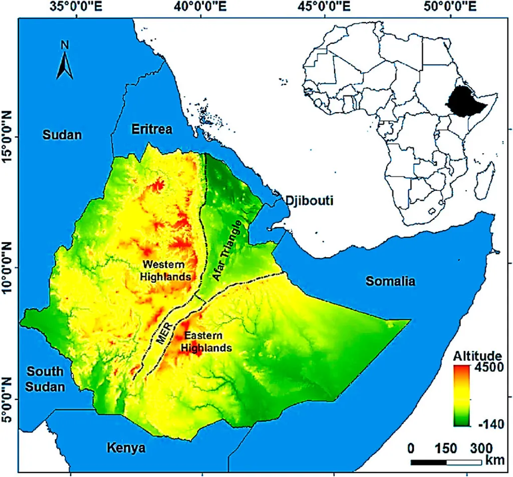
The study focuses on the Gubalafto district, an area representative of Ethiopia’s highland regions, where erosion threatens sustainable land use. By integrating Geographically Weighted Regression (GWR) with remote sensing and GIS techniques, the researchers created a high-resolution map of erosion susceptibility. This isn’t just another map; it’s a dynamic tool that reveals the intricate spatial variations in erosion risk, pinpointing hotspots with unprecedented precision.
“What sets this approach apart is its ability to adapt to local conditions,” Peng explains. “Traditional models often apply a one-size-fits-all approach, but erosion is highly localized. Our method captures that variability, making it a powerful decision-support tool for targeted interventions.”
The researchers used high-resolution terrain data (12.5×12.5 meters) to derive key indicators such as slope, LS factor (a measure of erosion potential based on slope length and steepness), curvature, valley depth, and proximity to drainage networks. The GWR model identified steep, sparsely vegetated areas near drainage networks as erosion hotspots, validating the model’s reliability and spatial sensitivity.
For the agriculture sector, the implications are profound. The resulting erosion susceptibility map enables farmers and land managers to prioritize areas for terracing, reforestation, and land-use regulation. This targeted approach could lead to more efficient allocation of conservation resources, ultimately boosting agricultural productivity and sustainability.
“By identifying the most vulnerable areas, we can focus our efforts where they’re needed most,” Peng says. “This isn’t just about protecting the land; it’s about ensuring the long-term viability of agriculture in these regions.”
The study’s findings also highlight the dominant predictors of erosion: slope, LS factor, and proximity to drainage channels. These insights provide a spatially precise framework for sustainable land management, guiding future developments in erosion control and watershed management.
As the agriculture sector grapples with the challenges of climate change and land degradation, innovative tools like this one are more critical than ever. By offering a clear, data-driven approach to erosion mapping, this research could shape the future of sustainable agriculture, not just in Ethiopia but in similar highland regions around the world.
Published in *Scientific Reports* and led by Zhao Peng of Shijiazhuang Zhongnong Xingtai Biotechnology Co., Ltd., this study represents a significant step forward in the fight against soil erosion. As the agriculture sector continues to evolve, the integration of advanced modeling techniques with remote sensing and GIS will undoubtedly play a pivotal role in shaping a more sustainable future.