In the ever-evolving landscape of agricultural technology, a groundbreaking study published in *Remote Sensing* is set to revolutionize how farmers and agronomists monitor crops. Led by Zhen Zhao from the Digital Agriculture Research Institute at Huazhong Agricultural University in Wuhan, China, the research introduces a novel approach to optimizing spatial sampling in satellite-UAV integrated remote sensing. This innovation promises to enhance the efficiency and cost-effectiveness of agricultural monitoring systems, a boon for the agriculture sector.
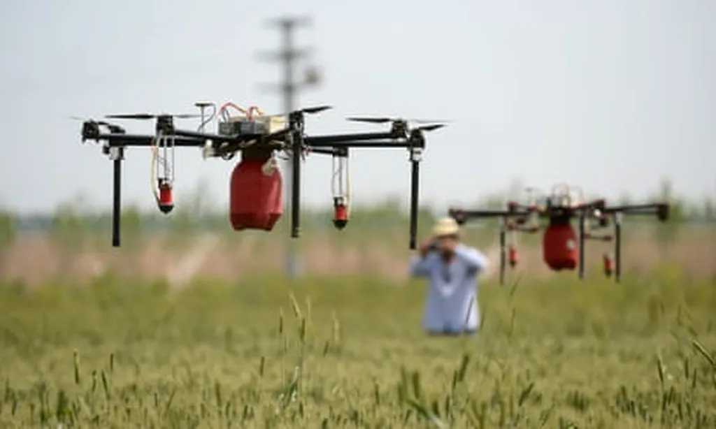
The study addresses a critical gap in the integration of satellite and UAV-based remote sensing. While these technologies have been widely used together for agricultural monitoring, the quantitative optimization of their combined efficiency has remained largely unexplored. Zhao and his team formulated the configuration of the satellite-UAV integrated system as a spatial sampling optimization problem. They developed an SSO (spatial sampling optimization) model that jointly optimizes the spatial locations and flight paths of UAV sampling within the satellite monitoring area. This model aims to maximize monitoring accuracy under a given cost constraint.
The researchers conducted comprehensive experiments in rapeseed fields, comparing the sampling effectiveness of the SSO model with traditional methods such as simple random sampling, systematic sampling, equal stratified sampling, and Neyman stratified sampling. The results were striking. The SSO-optimized plan demonstrated the highest sampling efficiency, outperforming the best-performing conventional method (Neyman stratified sampling) by at least 38.7%. Under the same cost constraint, the SSO-optimized sampling scheme could include 11.1% more sampling points than conventional schemes.
One of the key tools used in this research was the Elite Genetic Algorithm (EGA), which proved highly effective in solving the SSO model. The EGA reduced the error of the SSO-optimized scheme by 27.3% and decreased the sampling distance by an average of 7000 to 8000 meters. These improvements highlight the potential of the SSO model to significantly enhance the cost-effectiveness of agricultural monitoring systems.
“The proposed SSO model helps to optimize the configuration of satellite-UAV integrated remote sensing, thereby improving the cost-effectiveness of agricultural monitoring systems,” Zhao explained. This optimization is crucial for farmers and agronomists who rely on accurate and timely data to make informed decisions about crop management.
The commercial impacts of this research are substantial. By increasing the efficiency of spatial sampling, farmers can reduce costs while maintaining or even improving the accuracy of their monitoring systems. This is particularly important in large-scale agriculture, where the cost of UAV and satellite monitoring can be prohibitive. The SSO model offers a way to maximize the return on investment in these technologies, making them more accessible and practical for a wider range of agricultural operations.
Looking ahead, the research calls for a greater consideration of cost constraints and efficiency in agricultural system monitoring and government censuses. As the agriculture sector continues to embrace technology, the integration of satellite and UAV remote sensing will play an increasingly important role. The SSO model developed by Zhao and his team represents a significant step forward in this field, offering a powerful tool for optimizing the use of these technologies.
In conclusion, this research not only advances the scientific understanding of spatial sampling optimization but also provides practical solutions that can be immediately applied in the agriculture sector. As the industry continues to evolve, the insights and tools developed in this study will be invaluable in shaping the future of agricultural monitoring and management.