In the heart of China’s agricultural landscape, a groundbreaking study is set to revolutionize winter wheat yield estimation, offering a beacon of hope for food security and agricultural monitoring. Researchers, led by Zhaoxia Lou from the College of Agricultural Engineering at Shanxi Agricultural University, have harnessed the power of MODIS satellite data and meteorological monitoring to create a robust, county-level winter wheat yield prediction model. This innovative approach, published in *Frontiers in Plant Science*, promises to reshape the agricultural sector by providing accurate, timely, and actionable insights.
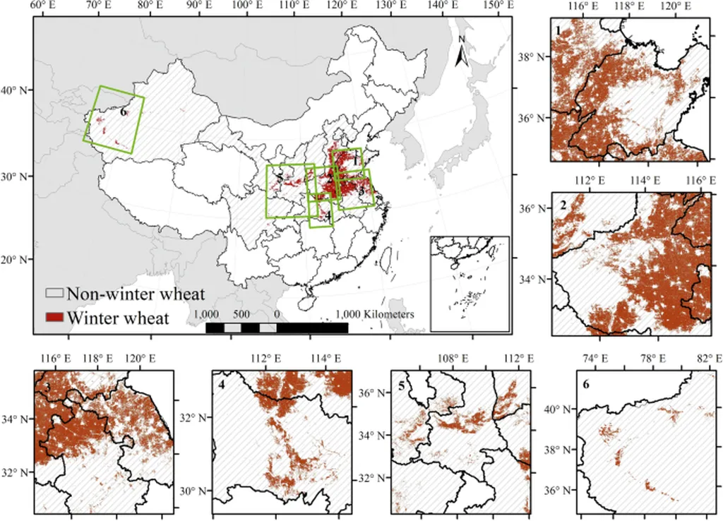
The Huang-Huai-Hai region, a vital winter wheat production hub, has long grappled with the challenges of yield estimation. Traditional methods often fall short in capturing the intricate spatio-temporal dynamics of wheat growth. However, this study integrates multi-source MODIS satellite data—surface reflectance, leaf area index (LAI), and fraction of absorbed photosynthetically active radiation (FPAR)—with precipitation and temperature data to construct a sophisticated prediction model.
“Reflectance responded sensitively to phenological changes, while FPAR and LAI revealed photosynthetic capacity and canopy structure evolution,” Lou explained. This multidimensional approach allows for a nuanced understanding of wheat growth stages, from overwintering to maturation, providing a solid foundation for effective yield prediction.
The researchers employed Partial Least Squares (PLS), Random Forest (RF), and Backpropagation (BP) models to analyze data from key growth periods. The BP model emerged as the top performer, achieving the highest accuracy during the growth period with an impressive R² of 0.81 and a Root Mean Square Error (RMSE) of 414.48 kg/ha. This model’s superior performance was further validated using 2023 growth period data, demonstrating its practical applicability and stability.
Shapley Additive Explanations (SHAP) analysis identified specific reflectance bands, precipitation, and LAI as key contributing factors to yield prediction. This insight not only enhances the model’s accuracy but also provides valuable information for agricultural decision-making.
The commercial implications of this research are profound. Accurate yield estimation enables farmers and agricultural enterprises to optimize resource allocation, reduce waste, and maximize productivity. “This study enables county-level estimation of winter wheat yield, providing scientific evidence and methodological reference for agricultural monitoring and food security assurance,” Lou stated. By integrating remote sensing and meteorological data, this model offers a scalable solution that can be adapted to various agricultural regions, fostering global food security.
Looking ahead, this research paves the way for future developments in agricultural monitoring. The integration of advanced remote sensing technologies with machine learning models holds immense potential for enhancing crop yield predictions, optimizing irrigation strategies, and mitigating the impacts of climate change on agriculture. As the agricultural sector continues to evolve, such innovative approaches will be crucial in ensuring sustainable and efficient food production.
In the quest for food security, this study stands as a testament to the power of interdisciplinary research. By bridging the gap between remote sensing, meteorology, and machine learning, Zhaoxia Lou and her team have set a new benchmark for agricultural monitoring, offering a glimpse into a future where technology and agriculture converge to nourish the world.